What is recorded here
Located in low-lying, damp, rush-grown pasture, adjacent to a NNW-SSE drain/stream. This burnt mound was exposed during land reclamation in 2006. It appeared as a discrete concentration (diam. c. 3m) of angular stone fragments in charcoal-rich soil, partly obscured by upcast from the drain. A slight rise (diam. c. 8m) in surrounding ground level may indicate the original limits of the mound. Another burnt mound (SL014-278----) is located 20m to S, and there is a Holy Well (SL014-106) c. 75m to SSE.
Compiled by: Jane O'Shaughnessy
Date of upload: 22 July 2015
Burnt mound in Tobernaveen is a Bronze Age ritual or domestic site, characterized by a concentration of heated stones. Its presence indicates prehistoric human activity and land use in the area.
The monument record does not grant public access. Check the route and ask the landowner before entering private land.
- What survives
- Recorded monument
Places near here
 TobernaveenHoly well · 93 yd
 Enclosure in BallydooganEnclosure · 481 yd
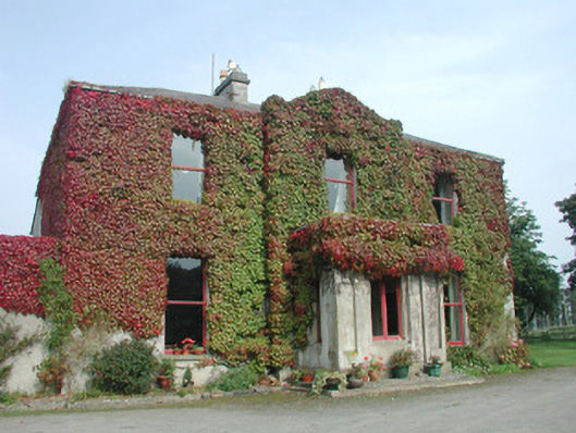 Woodville Househouse · 776 yd
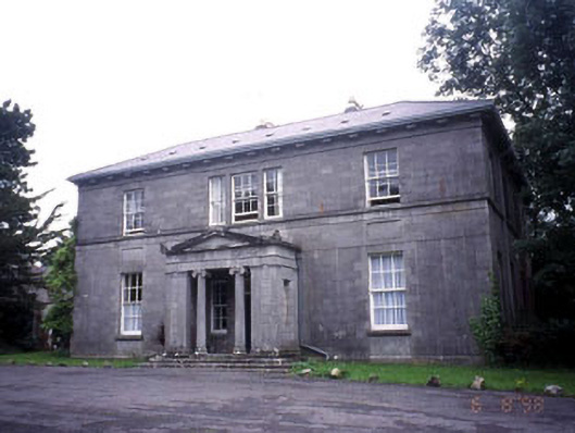 Kevinsfort Househouse · 1303 yd
 Carrowmore Megalithic CemeteryHeritage attraction · 1320 yd
 Carrowmore Visitors CentreVisitor information · 1475 yd
 St. John's CathedralMemorial · 1.5 mi
 Discover IrelandVisitor information · 1.7 mi
 Famine MemorialMonument · 1.7 mi
 CastleCastle, Anglo-Norman masonry castle · 1.7 mi
 Sligo AbbeyMuseum · 1.8 mi
 European BeechEuropean Beech · 2.5 mi