What is recorded here
Large burnt mound up to 25m across on a slightly E facing slope overlooking an area of wetland. A small saddle quern was recovered from the topsoil stripping. Delayed access through landowner issues. A second cutting at park 2 also has part of a burnt mound in it.
Compiled by: Caimin O'Brien.
Date of upload: 22 September 2008
Burnt mound, likely dating to the Neolithic or Early Bronze Age. Such features are commonly associated with domestic or ritual activities, possibly representing hearths or heat-related structures, and provide insight into early land use and settlement patterns.
The monument record does not grant public access. Check the route and ask the landowner before entering private land.
- What survives
- Recorded monument
Places near here
 IndicatedFairy fort / earthen ringfort · 450 yd
 Enclosure in RathEnclosure · 964 yd
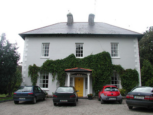 Allatrim Househouse · 1.1 mi
 Laughton Housecountry house · 1.1 mi
 CastleCastle, tower house · 1.2 mi
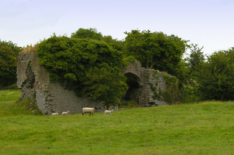 Bawn in CullenwaineBawn · 1.2 mi
 Kyleroe WoodWood · 1.5 mi
 BenduffMountain / peak · 3.4 mi
 Borrisnoe MountainMountain / peak · 4.3 mi
 Thomas MacDonagh Heritage CentreMuseum · 4.6 mi
 MacDonagh HouseMemorial · 4.6 mi
 Ballycapple WoodForest · 4.8 mi