What is recorded here
In pasture, located on the NE bank of a NNW-flowing stream or small river, known locally as the ‘Willsborogh River’. The stream flows in a deep vertical-sided gully (Wth c. 2m; D 1.8m) and appears to have been cannalised/deepened in the past.
This burnt mound, most likely a levelled fulacht fia, consists of a barely discernible, grass-covered D-shaped mound (10-11m N−S; c. 8m E-W; H 0.3m), bordered on the straight SW side by the stream gully. It is composed of a concentration of angular, heat-shattered sandstone fragments in charcoal-rich soil. A telegraph pole stands on the E edge of the mound.
Notified to NMS by the McDaniel family.
Attached images:
SL008-215----_01.JPG Burnt mound, viewed from SE
Compiled by: Jane O'Shaughnessy
Date of upload: 9 October 2020
Burnt mound in Cullagh Beg is a prehistoric ritual or industrial site, typically dating to the Neolithic or Bronze Age, characterised by a heap of heat-shattered stones. Its location near a channelled stream suggests possible use in water management or ceremonial practices.
The monument record does not grant public access. Check the route and ask the landowner before entering private land.
- What survives
- Recorded monument
Places near here
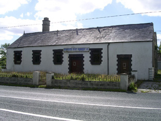 Drumcliffe Co-Operative Creamerycreamery · 691 yd
 Castle (in Ruins)Castle, unclassified · 845 yd
 Man-made underground passageFairy fort / earthen ringfort · 1224 yd
 Tober PatrickArchaeological place · 1294 yd
 Grave of WB YeatsHeritage attraction · 1333 yd
 Drumcliff CemeteryGraveyard · 1336 yd
 Saint Columba's Church (Drumcliff)church/chapel · 1343 yd
 CastleCastle, unclassified · 1623 yd
 Floods WoodForest · 1.1 mi
 Kings MountainMountain / peak · 1.6 mi
 Paddy McGowan's WoodWood · 1.9 mi
 Benbulbin South-East TopMountain / peak · 1.9 mi