What is recorded here
Situated on flat poorly drained land with the Ballinotty River to S and a medieval house (TNO21-094001/002) 200m to the E. The site consisted of a roughly circular or oval burnt stone mound (c.18m x 13m; H 0.3-0.5m) with adjacent spreads of burnt stone visible. Approximately 5m E of the mound there was a marl embankment (dims. 31m E-W x 17m N-S) with evidence of a peat and burnt stone layer in its composition. A larger spread of burnt stones (dims. c.40-50m E-W x 14m N-S) was visible to the S of the embankment. A second burnt stone spread (dims. 12m x 8m; H 0.2m) located 10m to the N was excavated but produced no finds. (O'Brien 2000, 188).
Compiled by: Caimin O'Brien.
Date of upload: 22 September 2008
Burnt mound in Ballintotty is a fulacht fia, dating to the Early to Middle Bronze Age (c. 2000–1200 BCE). These sites were likely used for cooking or industrial processes and are significant as some of the most common and enigmatic archaeological features in the Irish landscape.
The monument record does not grant public access. Check the route and ask the landowner before entering private land.
- What survives
- Recorded monument
Places near here
 Settlement desertedSettlement deserted, medieval · 264 yd
 Ballintotty Castle (in ruins)Castle, tower house · 275 yd
 Enclosure in BallintottyEnclosure · 590 yd
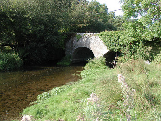 Rathurles Bridgebridge · 1576 yd
 Islandbawn Millsmill (water) · 1625 yd
 Rathurles CastleCastle · 1.0 mi
 Gibbet HillMountain / peak · 2.0 mi
 James Devaney MemorialMemorial · 2.6 mi
 Old BarracksHeritage attraction · 2.8 mi
 Nenagh Heritage CentreMuseum · 3.0 mi
 Knockacraheen HillMountain / peak · 4.1 mi
 Ballycapple WoodForest · 4.7 mi