What is recorded here
Knockeanagh holds four acres of small burial mounds and scattered pillar stones that local people still call Cahereens. The field resisted ploughing while surrounding land yielded crops, and bones kept appearing whenever nearby soil turned. That boundary between the living field and the dead field suggests the mounds marked a place people recognised but never fully owned.
The precise location of possible burial mounds stone in the townland of Konckeanagh has not been identified.
According to O'Donoghue (1884, 315) 'In this townland of Knockenagh there is a portion of a large field, covering four or five acres, occupied by what the people call Cahereens, where there are an immense number of small burial-mounds, with a few pillar-stones [KE028-098002-] still standing here and there. The place has never been tilled, though surrounded by good arable land; human bones have been frequently found on tilling the land about it. I have no doubt that this was the ancient Aenach near Barrow;'. The townland extends into OS 6-inch map 20 and it is possible that these mounds may be on the portion of the townland on map 20.
Compiled by: Caimin O'Brien
Date of upload: 14 June 2022
The monument record does not grant public access. Check the route and ask the landowner before entering private land.
- What survives
- Recorded monument
Places near here
 Enclosure in RahoneenEnclosure · 1011 yd
 Rathoneen Castle (remains of)Castle · 1224 yd
 CastleCastle, tower house · 1224 yd
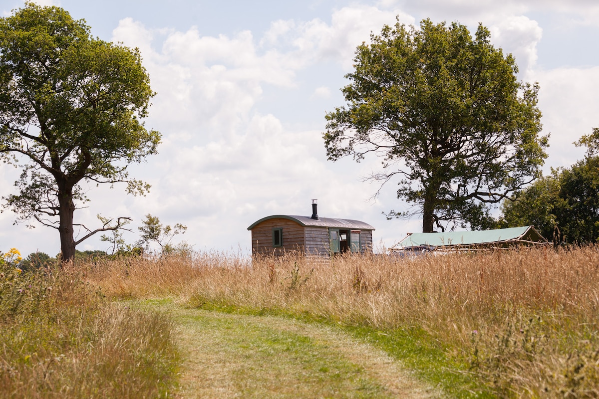 Hut site in Ardfert OughterHut site · 1415 yd
 CloghnacroustaNamed rock · 1.2 mi
 Saint Brendan's Catholic Churchchurch/chapel · 1.5 mi
 Church in Glebe (trughanacmy By., Ballynahaglish Ed)Church · 1.6 mi
 Statue of Roger CasementMemorial · 1.7 mi
 Ardfert CathedralHeritage attraction · 1.7 mi
 15th Centenary of the birth of St-BredanMemorial · 1.7 mi
 Ardfert FriaryVisitor information · 2.0 mi
 Ardfert Franciscan FriaryVisitor information · 2.0 mi