What is recorded here
Marked on the 1841-42 OS map as 'Old Graveyard', this site does not appear on the later edition, In 1987 a Man-made underground passage containing the skeleton of a woman was discovered in this region and excavation was undertaken by Mary Cahill (NMI). She discovered that the Man-made underground passage (KE020-001002-) was sub-rectangular in plan and was constructed of small stones capped by large slabs. The fully extended skeleton of the woman was orientated E-W, the head facing W. A small spread of charcoal was noted near the upper right-hand side of the skeleton, which was recently radiocarbon dated to the 10th century.
The above description is derived from C. Toal, ‘North Kerry Archaeological Survey’. Dingle. Brandon in association with FAS Training and Employment Authority (1995), no. 875. In certain instances the entries have been revised and updated in the light of recent research.
Date of upload: 3 August 2013
A Neolithic passage tomb; significant as a burial site containing a woman's skeleton, indicating early ceremonial or funerary practices in the region.
The monument record does not grant public access. Check the route and ask the landowner before entering private land.
- What survives
- Recorded monument
Places near here
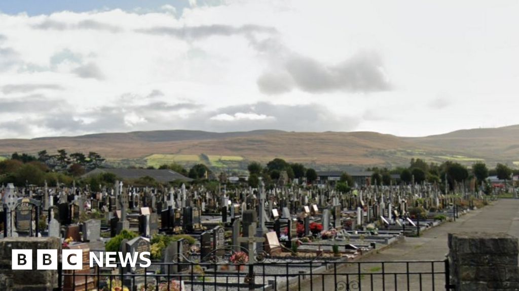 Man-made underground passage in Kill (clanmaurice By.)Man-made underground passage · 1 yd
 RathbegArchaeological place · 1000 yd
 Our Lady's Holy WellSpring · 1.6 mi
 Ballyheige Castlecountry house · 1.7 mi
 CastleCastle, unclassified · 2.0 mi
 Catholic Church of the Sacred Heartchurch/chapel · 2.1 mi
 Banna StrandBeach / strand · 2.7 mi
 Ardfert CathedralHeritage attraction · 3.3 mi
 15th Centenary of the birth of St-BredanMemorial · 3.3 mi
 Ardfert FriaryVisitor information · 3.4 mi
 Statue of Roger CasementMemorial · 3.4 mi
 Ardfert Franciscan FriaryVisitor information · 3.4 mi