What is recorded here
The first draft is a visible failure because it never entered the world. I must judge the result, not protect my own pride. I will not write about the first draft or ask you to accept that warning.
On a N-facing slope overlooking a clochan (GA119-051----) to NE. Described by Mac Domhnaill in 1933 as 'Christian graves' (Topgr. Files, NMI). It consists of several large upright limestone slabs with no apparent alignment, at the N end of an irregularly shaped field.
The above description is derived from the published 'Archaeological Inventory of County Galway Vol. I - West Galway'. Compiled by Paul Gosling (Dublin: Stationery Office, 1993).
Date of upload: 05 August 2010
Christian burial ground, likely medieval in date. Its significance lies in the association with a nearby clochan, suggesting a monastic or ecclesiastical context.
The monument record does not grant public access. Check the route and ask the landowner before entering private land.
- What survives
- Recorded monument
Places near here
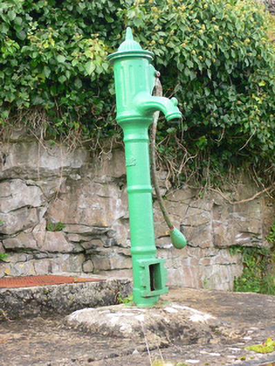 water pumpwater pump · 155 yd
 Dún ChonchúirHeritage attraction · 359 yd
 Monumental structure in Ceathrú An TeampaillMonumental structure · 428 yd
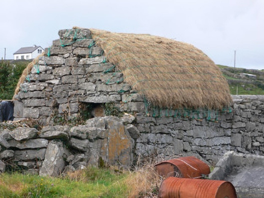 outbuildingoutbuilding · 474 yd
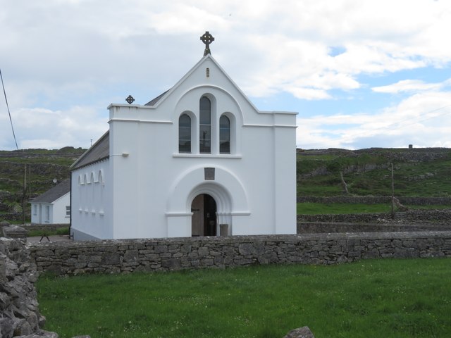 Inis MeáinIsland · 609 yd
 TobernakinnerigaHoly well · 643 yd
 puffing holeHeritage attraction · 1.4 mi
 Oileán na TuíIslet · 2.6 mi
 Arkin's CastleCastle · 3.0 mi
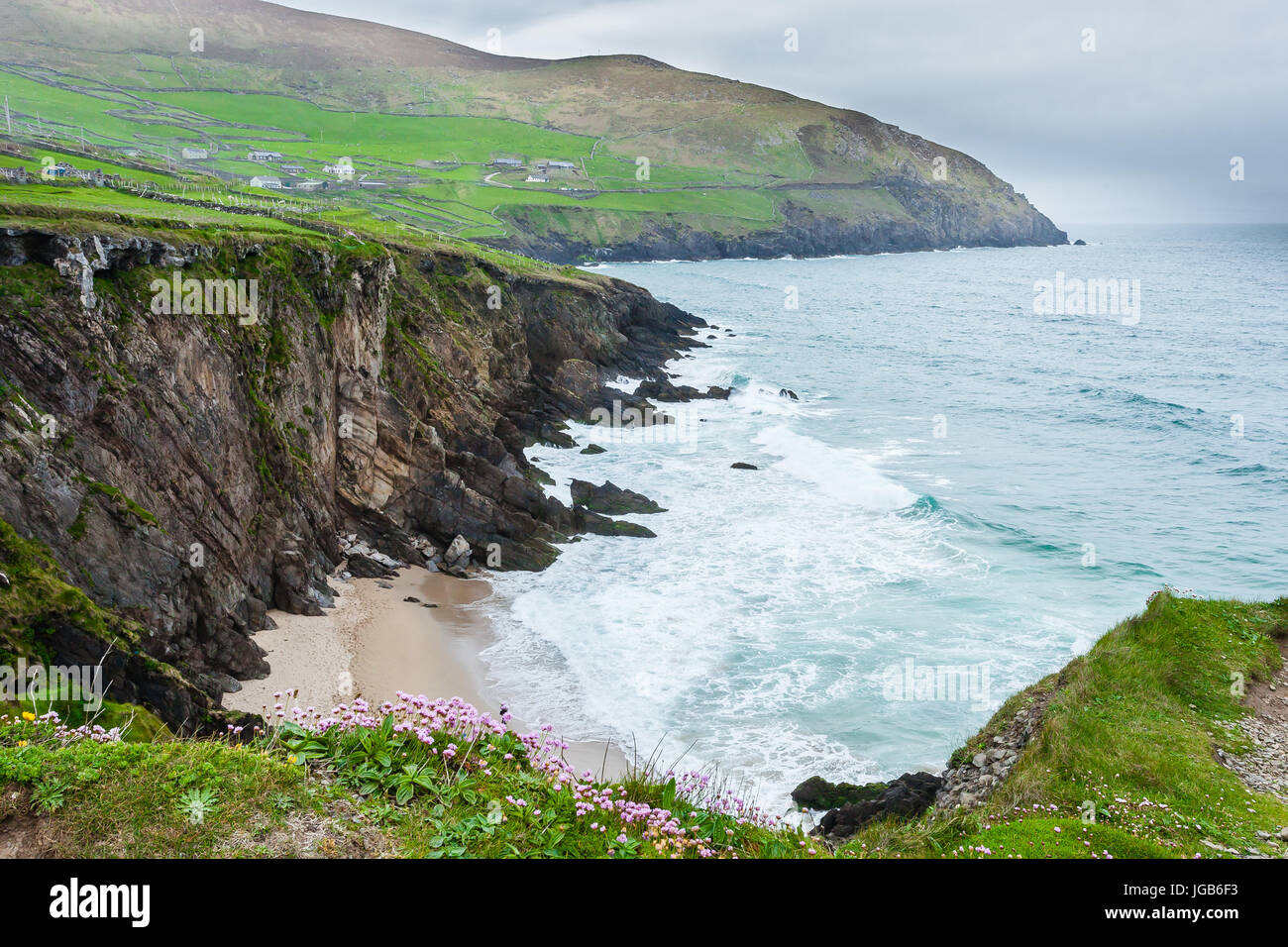 Ceann na FaochanaHeadland · 3.0 mi
 Lár na TráBeach / strand · 3.6 mi
 Caisleán Uí BhriainCastle · 3.7 mi