What is recorded here
Located in a subrectangular walled field (c. 40m N–S; 30m E–W) bordering the S shoreline of the Rosses Point peninsula. A modern E–W road borders the N side of the field.
This location was used as a burial ground or cillín. It is not marked on any edition of the OS 6-inch maps. A plaque erected in 1997 on the N wall of the field by the Rosses Point Heritage Association states: ‘The cillín at this place was a burial ground for unbaptised infants, Famine and cholera victims and unidentified sailors who died in the vicinity.’ Curran (2021, 29) records that it was traditionally known as ‘Cillath’ or ‘Cill an Áit’, and was used for the burial of unbaptised babies as late as the 1930’s
Dense overgrowth engulfs the field; no graves are visible and the exact extent of the burial ground is uncertain.
This monument was notified to NMS by Tamlyn McHugh.
Attached images:
SL008-012----_01.JPG Plaque at N wall of the burial ground
SL008-012----_02.JPG Inscription on plaque
Compiled by: Jane O'Shaughnessy
Date of upload: 5 November 2019
References:
Curran, B 2021 Rosses Point and Surroundings. Sligo: Brian Curran, 2021.
The monument record does not grant public access. Check the route and ask the landowner before entering private land.
- What survives
- Recorded monument
Places near here
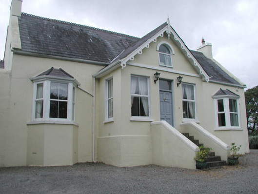 Saint Helen'shouse · 309 yd
 Enclosure in CreggEnclosure · 315 yd
 Enclosure in BallyweelinEnclosure · 694 yd
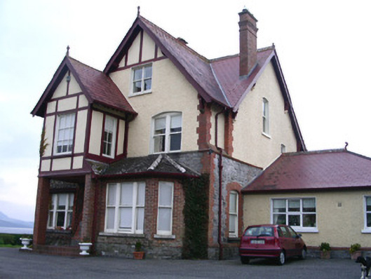 Rossavillehouse · 1.1 mi
 Oyster IslandIslet · 1.8 mi
 CastleCastle, unclassified · 1.8 mi
 Waiting on ShoreMemorial · 1.9 mi
 Grave of WB YeatsHeritage attraction · 2.0 mi
 Drumcliff CemeteryGraveyard · 2.0 mi
 Rosses Point BeachBeach / strand · 2.1 mi
 Finned PointHeadland · 2.4 mi
 Doonanpatrick IslandIslet · 2.6 mi