What is recorded here
Twenty-three stones circle a grassy hollow on a Clare ridge, marking a children's burial ground where grave markers have vanished. The kerb still holds its shape despite damage, enclosing a small space large enough for several lives but no longer identifiable as separate deaths. What is certain is the intention to set these children apart, and what is lost is the name of each one.
Towards the N end of a N-S ridge. Listed as 'Burial Ground' in the RMP (1996). A circular grass-covered area (int. dim. 20m NE-SW) defined by a kerb of 23 stones (0.55m x 0.3m; H 0.2m to 1.6m x 1m; H 0.8m) SW-NE and slight traces of a perimeter elsewhere (diam. 11m NW-SE). It has been damaged and no grave-markers are now evident. (Lenihan 1992, 28; Coffey 1993, 67)
Compiled by: Michael Moore
Date of upload: 2 May 2017
Neolithic passage tomb, dating to approximately 3000–2500 BCE. Its significance lies in its kerbstone arrangement and possible ritual use for child burials, reflecting early funerary practices in the region.
The monument record does not grant public access. Check the route and ask the landowner before entering private land.
- What survives
- Recorded monument
Places near here
 ToberbreedaHoly well · 49 yd
 Abbey (in ruins)Religious house, Augustinian canons · 1081 yd
 Enclosure in BallyoganEnclosure · 1442 yd
 Castle (in ruins)Castle, unclassified · 1549 yd
 Derrymore WoodWood · 1.4 mi
 O'Brien's CastleCastle · 1.4 mi
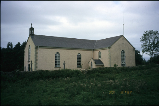 Saint Cronan's Catholic Churchchurch/chapel · 1.6 mi
 Mulkere MemorialMemorial · 1.6 mi
 Dromore WoodWood · 3.1 mi
 Battle of TullyodeaBattlefield · 5.1 mi
 Ennis AbbeyMuseum · 6.1 mi
 Clare MuseumMuseum · 6.2 mi