What is recorded here
Topographic survey and archaeological inventory describe a disused burial ground on a Cork hillock: an oval enclosure roughly thirty metres long, a broken bank arc around its south-west to north-east edge, and no visible graves or markers. That absence is the shape of the place. The living field has closed over the dead church and buried names, leaving only a slight ridge for shoes to catch.
Depicted only on 1936 OS 6-inch map as oval enclosure (c. 30m N-S; c. 15m E-W), defined by broken line; site of church (14483) marked in centre. On top of a hillock, in undulating pasture. Arc of bank (C 22m; int. H 0.6m; ext. H 1.1m) around hillock SSW->NNE; no visible surface trace of burials or burial markers.
The above description is derived from the published 'Archaeological Inventory of County Cork. Volume 4: North Cork' (Dublin: Stationery Office, 2000). In certain instances the entries have been revised and updated in the light of recent research.
Date of upload/revision: 14 January 2009
The monument record does not grant public access. Check the route and ask the landowner before entering private land.
- What survives
- Recorded monument
Places near here
 Church (Site of)Church · 1 yd
 Dromsicane Castle (in Ruins)Bawn · 972 yd
 Fulacht FiadhFulacht fia · 1671 yd
 Millstreet Railway Stationrailway station · 1757 yd
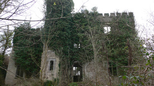 Duarrigle Castlecountry house · 1.1 mi
 Castle and TurretCastle, tower house · 1.4 mi
 Millstreet Tourist InformationVisitor information · 2.2 mi
 Millstreet Museum & Tourist Information CentreMuseum · 2.2 mi
 Claragh Loop (Trailhead 99)Visitor information · 2.2 mi
 RowanRowan · 3.1 mi
 Claragh MountainMountain / peak · 3.1 mi
 Rathcool WoodWood · 3.7 mi