What is recorded here
In a rath (MA052-003002-). The level interior of the rath has been used as a burial ground, and is marked as such on the 1838 and 1920 OS 6-inch maps. The highest density of graves appears to be in the W half of the interior, the majority of which appear to be 20th-century in date. There is an extension of the graveyard to W and S of the rath.
Compiled by: Jane O'Shaughnessy
Date of upload: 26 June 2020
The monument record does not grant public access. Check the route and ask the landowner before entering private land.
- What survives
- Recorded monument
Places near here
 Musicans of DoocastleMemorial · 339 yd
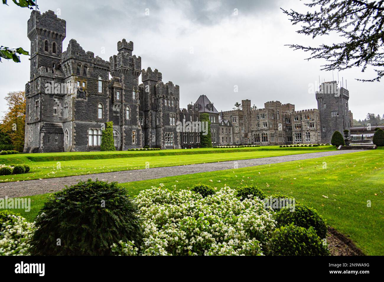 IndicatedFairy fort / earthen ringfort · 723 yd
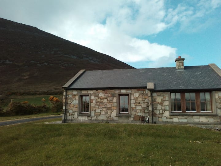 Doomore FortArchaeological place · 1535 yd
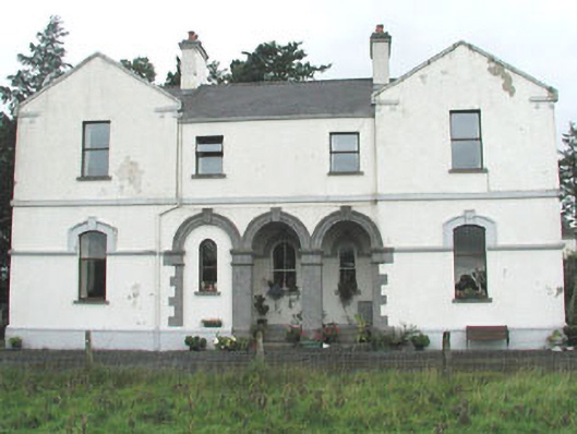 Doobeg Househouse · 1.1 mi
 CastleCastle, unclassified · 1.9 mi
 Castle (in Ruins)Castle, tower house · 2.2 mi
 Tymon's HillMountain / peak · 2.6 mi
 Old Cave Burial GroundArchaeological place · 3.2 mi
 Muckelty HillMountain / peak · 3.9 mi
 Caves of KeshCave · 8.4 mi
 School CaveCave · 9.3 mi
 Crow IslandIslet · 9.8 mi