What is recorded here
Indicated was probably a rath on a narrow ridge above Cloonagh Lough, large enough to hold a home, a herd or a small community before it disappeared under pasture and traffic. The land still marks the loss: a faint circular rise remains where a road and ring once cut the grass, while the deleted laneway suggests people still believed the place needed an entrance. What is missing has not stopped arriving; it has only stopped being visible.
In pasture, located on a N–S ridge, with a gentle slope on the E side falling towards a level expanse of grassland extending for c. 400m E to the shores of Cloonagh Lough.
Shown on the 1837 OS 6-inch map as a sub-circular enclosure, and on the 1930 edition as an oval, hachured ringfort-sized enclosure (c. 35m N−S; c. 25m E−W). This enclosure, which was probably a rath, has been levelled; the outline of a very slightly raised, roughly circular area (diam. c. 23m) is visible at ground level. An E-W road or laneway, shown on the OS 6-inch maps, which lay immediately to S, has also been removed.
Compiled by: Jane O’Shaughnessy
Date of upload: 13 April 2018
The monument record does not grant public access. Check the route and ask the landowner before entering private land.
- What survives
- Recorded monument
Places near here
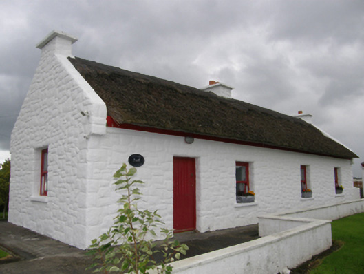 Kelly's Cottagehouse · 398 yd
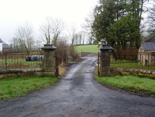 Rappa Castlegates/railings/walls · 752 yd
 IndicatedFairy fort / earthen ringfort · 1637 yd
 RathnamuffFairy fort / earthen ringfort · 1.5 mi
 Deel CastleCastle · 2.0 mi
 CastleCastle, tower house · 2.2 mi
 Battle of Ballinabattle · 2.9 miHumbert MonumentMemorial · 3.4 mi
 Belleek WoodsWood · 3.5 mi
 FloretteWreck · 3.7 mi
 Rinphilip PointHeadland · 3.8 mi
 Gortabradawn PointHeadland · 4.8 mi