What is recorded here
Situated at the bottom of an E-facing slope. There were four natural basins or bullauns (diam. c. 0.4m; D 0.2m) in rock outcrop a short distance S of Toberikeen well (RO054-018001-) (Gannon 1972; Grenham 1983, 67). This does not survive in reclaimed pasture, but its exact original location is not known.
Compiled by: Michael Moore
Date of upload: 24 August 2010
Likely dating to the Early Christian or earlier prehistoric period, bullaun stones were often used for ritual purposes, including the preparation of holy water or as pilgrimage sites. They are sometimes associated with local saints or folklore, though specific traditions for this site are not recorded.
The monument record does not grant public access. Check the route and ask the landowner before entering private land.
- What survives
- Recorded monument
Places near here
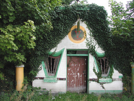 Millar's Harp Houseshop/retail outlet · 425 yd
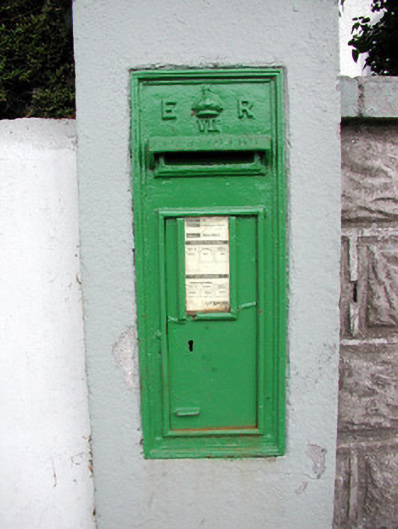 post boxpost box · 1097 yd
 IndicatedFairy fort / stone ringfort · 1275 yd
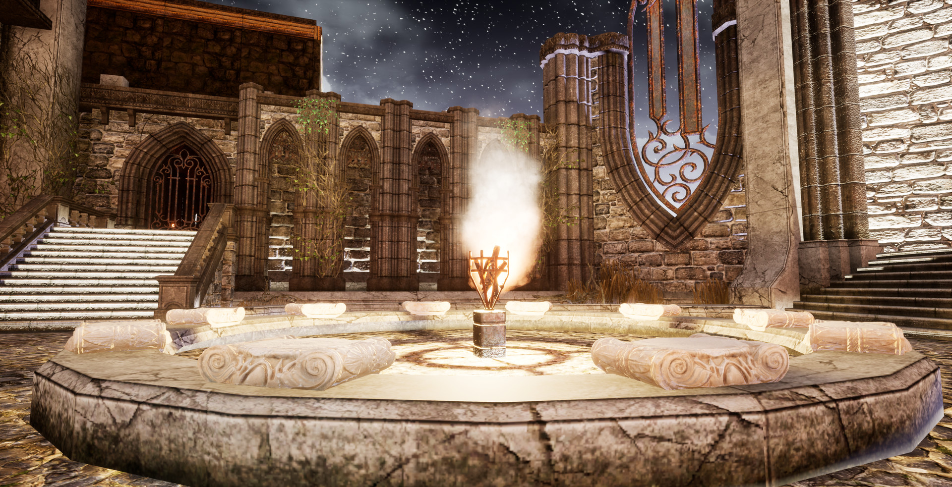 Liberty CastleCastle, unclassified · 1563 yd
 Embanked enclosureFairy fort / earthen ringfort · 1.1 mi
 Tully CastleArchaeological place · 1.2 mi
 Split HillMountain / peak · 3.3 mi
 Devenish IslandIsland · 3.7 mi
 HawthornHawthorn · 4.1 mi
 ClonmacnoiseMuseum · 4.3 mi
 Graveyard in ClonmacnoiseGraveyard · 4.3 mi
 Long IslandIsland · 4.4 mi