What is recorded here
This is a large, rough boulder, measuring 2.7m x 1.5m x .5m high, with a circular depression located fairly centrally at the E end of its upper surface. The latter is almost conical in section and measures .43 m in diameter and .33m in depth. Lying within the depression is a small oval stone, possibly a pestle. The bullaun stone is known locally as Carraig an Aifrinn and was reputedly a mass rock.
The above description is derived from J. Cuppage, ‘Corca Dhuibhne. Dingle Peninsula archaeological survey. Ballyferriter. Oidhreacht Chorca Dhuibhne’ (1986), no. 961. In certain instances the entries have been revised and updated in the light of recent research.
Date of upload: 7 August 2013
Likely dating to the early medieval period, the bullaun stone may have been used for ritual purposes, possibly as a holy water basin associated with a nearby church or monastic site. Such stones often feature in local folklore as having curative or protective properties.
The monument record does not grant public access. Check the route and ask the landowner before entering private land.
- What survives
- Recorded monument
Places near here
 Man-made underground passage in An Mhín Aird ThiarMan-made underground passage · 263 yd
 Aglish Grave YardGraveyard · 544 yd
 Lispole Ambush MonumentWayside cross · 1.0 mi
 Séipéal Eoin Baiste [Catholic Church of Saint John the Baptist]church/chapel · 1.0 mi
 Lispole Viaductbridge · 1.1 mi
 Cnoc an GhleannaMountain / peak · 1.2 mi
 Tobar EoinSpring · 1.4 mi
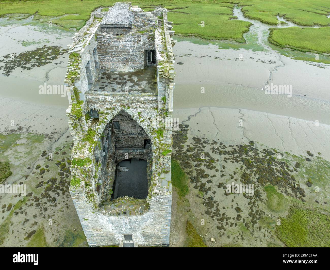
 Caisleán na Mine AirdeCastle · 1.4 mi
 Minard Castle (in ruins)Castle, tower house · 1.4 mi
 Acres PointHeadland · 2.1 mi
 CarrigavinnaunNamed rock · 2.3 mi
 Cruach SceirdeMountain / peak · 2.9 mi