What is recorded here
On a natural rock outcrop c. 0.5-1m above the general field level, on the floor of the Nore river valley, in fairly flat grassland and tillage. There are good views in all directions. In the S portion of this outcrop there are the remains of a building with a portion projecting northward by c. 8m, 12m from the W end (wall T c. 1.5m at base; H c. 0.4m). Of the S portion only 11m of the W end and 11m of the W end of the N wall survive, with an entrance gap (Wth 1m) at the E end of the N wall, just before the projection. Of the N projection only the W wall, with an entrance gap (Wth 2m) and portion of the N wall (L 5m) survive. There is a local tradition that these foundations relate to the medieval church of Foulksrath (KK010-120----). However, while these foundations may be medieval or 17th century in date, they may also relate to the house (KK010-056003-) or building (KK010-056006-) shown on the Down Survey parish map of ‘Coolecrahin’ (Coolerahin) 1655-6.
Compiled by: Jean Farrelly
Date of upload: 14 January 2019
The monument record does not grant public access. Check the route and ask the landowner before entering private land.
- What survives
- Recorded monument
Places near here
 Foulksrath CastleCastle, tower house · 109 yd
 Enclosure in Foulksrath (fassadinin By.)Enclosure · 690 yd
 Enclosure in SwiftsheathEnclosure · 856 yd
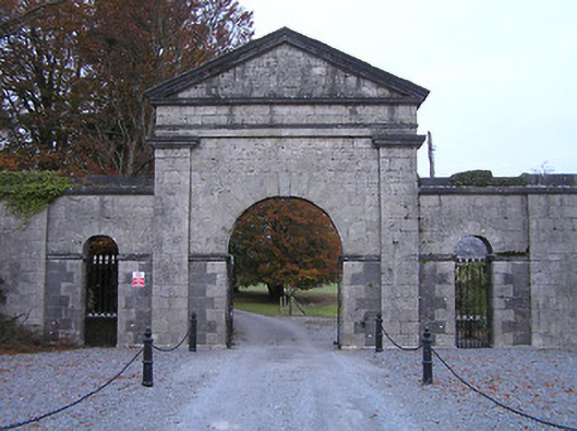 Swifte's Heathgates/railings/walls · 1500 yd
 Coolcraheen Church (in ruins)Church · 1.0 mi
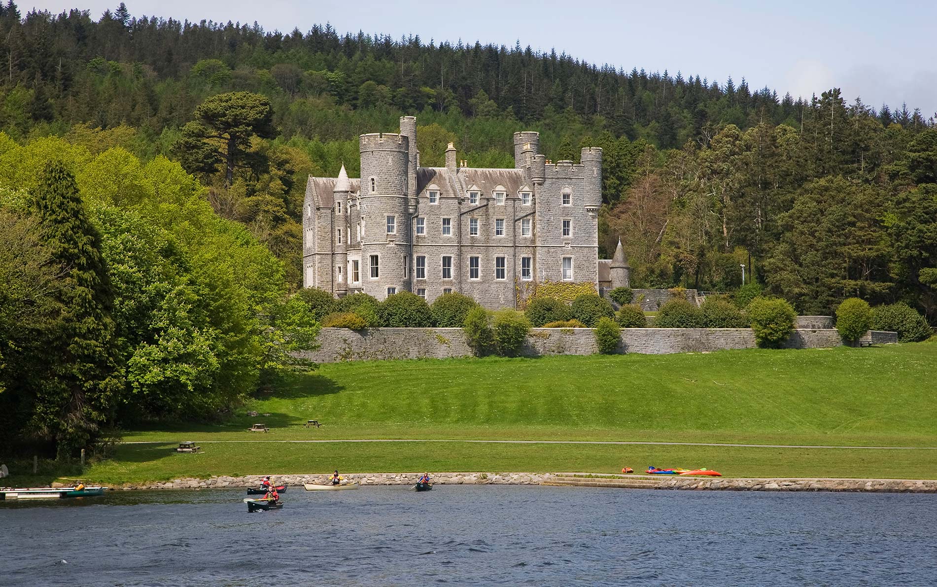 CastleCastle, unclassified · 1.0 mi
 Saint Coleman's WellSpring · 1.5 mi
 Jenkinstown ParkForest · 2.2 mi
 Donaghmore WellSpring · 2.3 mi
 Graveyard in ThreecastlesGraveyard · 2.5 mi
 Turkey OakTurkey Oak · 2.7 mi
 Emma Jane Browne-ClaytonMemorial · 3.7 mi