What is recorded here
Unlocated building within townland that is indicated on seventeenth century map of the area (O'Flanagan 1933, vol. 2, p. 296)
Compiled by: Caimin O'Brien
Date of upload: 17 December 2007
The monument record does not grant public access. Check the route and ask the landowner before entering private land.
- What survives
- Recorded monument
Places near here
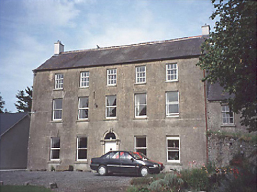 Cooperhill Househouse · 260 yd
 Enclosure in Cooperhill DemesneEnclosure · 283 yd
 EnclosureEnclosure, large enclosure · 794 yd
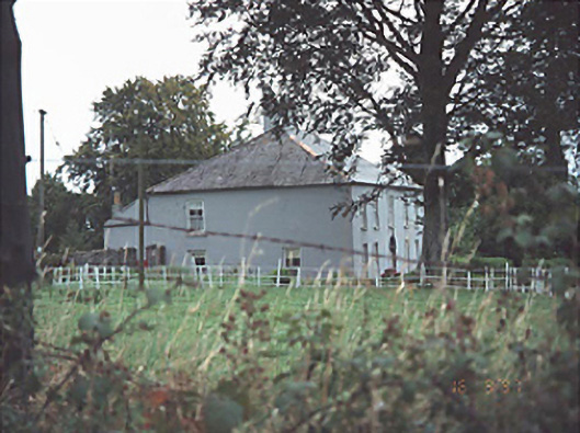 Providence Lodgehouse · 1247 yd
 Pedunculate OakPedunculate Oak · 1.7 mi
 European Crab AppleEuropean Crab Apple · 1.9 mi
 Killeshin ChurchVisitor information · 1.9 mi
 Killeshin MoatCastle, motte · 1.9 mi
 Castle (in ruins)Castle, tower house · 2.6 mi
 Church (in ruins), GraveyardChurch · 3.2 mi
 Carlow CastleRuined medieval castle · 3.9 mi
 VISUAL Centre for Contemporary ArtGallery · 4.0 mi