What is recorded here
Situated on a gentle NE-SW slope, surrounded by gently undulating pasture-land, with excellent views from SW-W-NW. Ringfort (WM008-034---) 250m to SE. Ringfort (WM008-035---) 300m to ESE). A circular-shaped area (diam. 30m N-S; 25.5m E-W) enclosed by a very poorly preserved earthen bank, almost completely levelled from SW-W-N, with a shallow fosse and low external bank at S. There is an entrance gap at WSW. The interior rises slightly towards the centre and has traces of cultivation ridges which run E-W.
Compiled by: Frank Coyne and Caimin O'Brien
Date of upload: 19 April 2017
The monument record does not grant public access. Check the route and ask the landowner before entering private land.
- What survives
- Recorded monument
Places near here
 IndicatedEnclosure · 849 yd
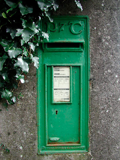 post boxpost box · 1657 yd
 The FurzeForest · 1683 yd
 Brownstown OldSettlement cluster · 1693 yd
 The Sloe HillMountain / peak · 1.1 mi
 Bawn in Scurlockstown (delvin By.)Bawn · 1.2 mi
 Archerstown Church in ruinsChapel · 1.6 mi
 CastleCastle, tower house · 1.6 mi
 Noggin HillMountain / peak · 1.7 mi
 Bradley's WoodWood · 2.4 mi
 South East GateHeritage attraction · 3.6 mi
 Castle IslandIslet · 3.7 mi