What is recorded here
Indicated is a circular fairy fort on a Mayo rise, its stone-edged bank half-swallowed by blackthorn and hawthorn. The western interior has been quarried open, exposing a dark underground passage that suggests the rath may have hidden chambers as well as rooms. The eastern edge still holds a rectangular stone-lined appendage, perhaps an entrance, byre or threshold for whoever lived there before the thorns closed over the path.
In pasture, located on a rise with very good views.
Roughly circular area (diam. c. 30-35m) defined by a bank (Wth 3.5m; int. H 0.7m; ext. H 1.3m at SW). Stones protrude intermittently from the bank, which may be remnants of internal and external stone kerbing. Large stones and boulders also occur along the top of the bank, possibly the result of field clearance. A field fence, on a NE–SW axis, cuts across the interior to E of centre. To E of this field fence, the surface of the interior is uneven and thickly strewn with stones, some accumulated in a heap. To W of the field fence, the interior has been largely quarried out. A possible Man-made underground passage (MA072-066001-) is visible in the section face of the quarried area, slightly NW of the centre of the rath.
A rectangular area (13.5m N–S; 5.5m E–W), roughly delimited at N and S by stones protruding from the sod, and to E by a slight scarp, is appended to the external face of the rath at E.
The rath is engulfed in a thicket of blackthorn and hawthorn.
Compiled by: Jane O’Shaughnessy
Date of upload: 12 May 2021
The monument record does not grant public access. Check the route and ask the landowner before entering private land.
- What survives
- Recorded monument
Places near here
 Saint Joseph's Catholic Churchchurch/chapel · 1025 yd
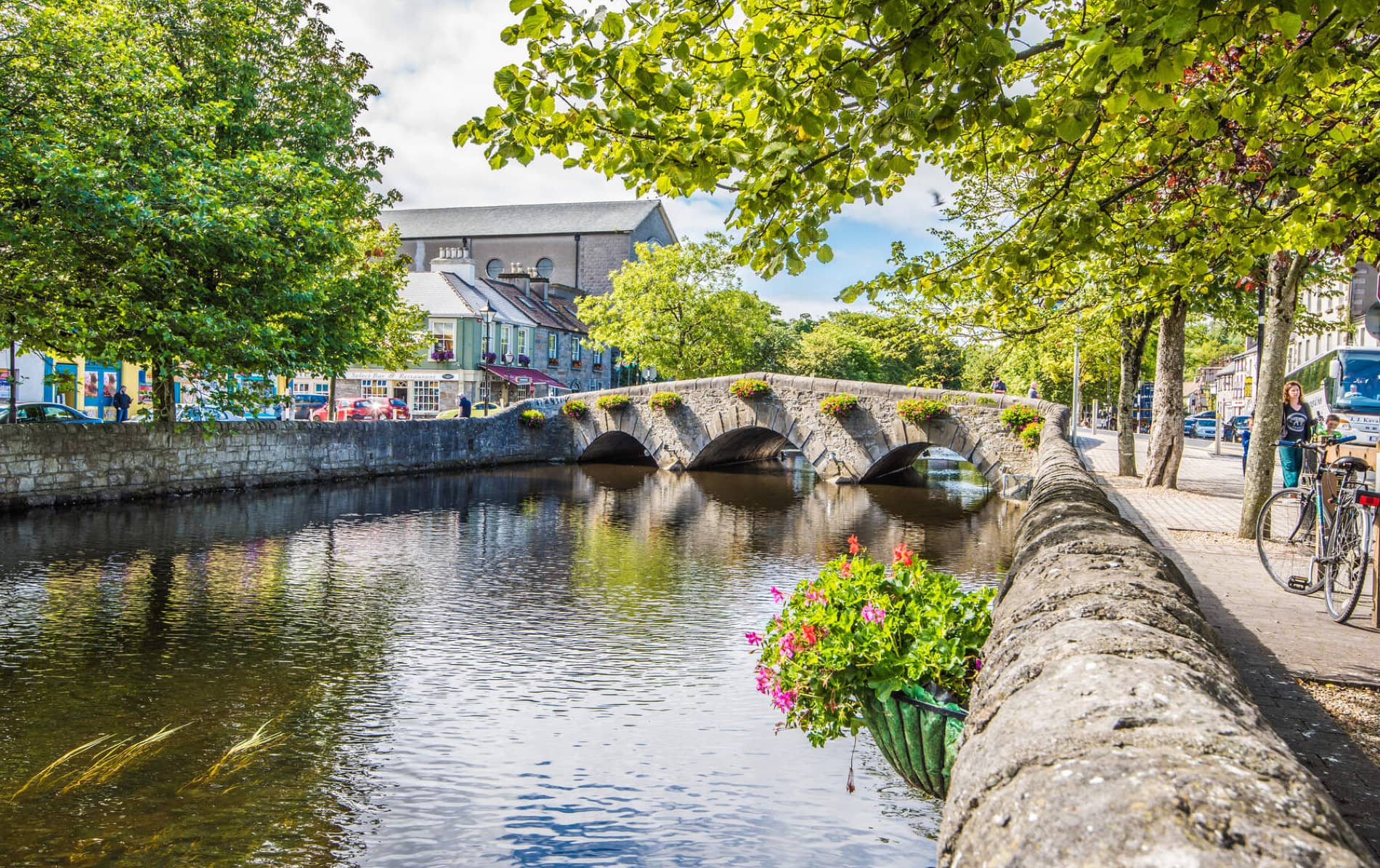 IndicatedFairy fort / earthen ringfort · 1.1 mi
 Enclosure in JohnsfortEnclosure · 1.3 mi
 Thorn CaveCave · 1.6 mi
 Kinaff Bridgebridge · 1.7 mi
 Brabazon WoodsForest · 3.0 mi
 Youth Memorial GardenMemorial · 3.3 mi
 Procession Of The SoulsMemorial · 3.4 mi
 Kiltimagh MuseumMuseum · 4.0 mi
 Carrowbeg WoodWood · 6.0 mi
 CashlankeeghCastle, unclassified · 6.1 mi
 Rath Castle in ruinsCastle, tower house · 6.2 mi