What is recorded here
Indicated is a circular earthen fort on a Mayo ridge where cattle have worn breaks through the bank and a hidden passage still cuts beneath the west side. The rath stands twenty-seven metres across, ringed by hawthorn and blackthorn, with a steep drop to the southwest and a gentler slope to the northeast. It may have been a home, a boundary marker or a forgotten place of ritual, but its shape remains clear enough to suggest that people once believed the ridge needed a room of their own.
In pasture, located on a ridge with a steep fall of ground to SW, and a gentler slope to NE.
Raised circular area (27m N–S; 26m E–W) defined by an earth and stone bank (Wth 3m at N, 2.5m at S; int. H 0.6m at N, 0.4m at S; ext. H 1.5m at N, 1.2m at S).
Stone protruding from the sod on the internal face of the bank in parts may be the remains of stone facing. The external face of the bank at SSE–W is cut to the vertical and faced with stone, and incorporates a short flight of steps at S, most likely the result of relatively recent modification when the rath was incorporated into a later system of field walls. There are several narrow breaks in the bank, eroded by cattle, but no clearly defined entrance.
There is a Man-made underground passage (MA072-065001) in the W half of the rath.
Immediately outside the bank at N, there is a discrete linear depression (L 4m; Wth 3-3.5m; D 1m) which appears to be a late feature rather than remains of a fosse. Part of the S side of the depression is faced with stones, flanking a semi-circular stone-built structure (0.65m E–W; 0.8m N–S; H 1.2m), possibly a limekiln, which is dug into the base of the rath bank.
The rath interior is level and grassy, with thistles and occasional clumps of blackthorn scrub; the perimeter is ringed with hawthorn and blackthorn, especially dense at SSW–W.
Another rath (MA072-066----) is located 280m to ESE.
Compiled by: Jane O’Shaughnessy
Date of upload: 12 May 2021
The monument record does not grant public access. Check the route and ask the landowner before entering private land.
- What survives
- Recorded monument
Places near here
 Saint Joseph's Catholic Churchchurch/chapel · 1355 yd
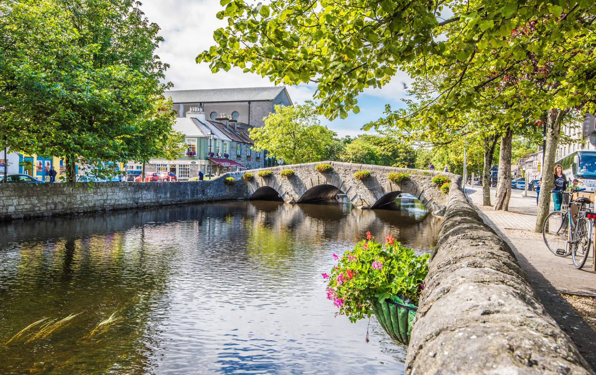 IndicatedFairy fort / earthen ringfort · 1564 yd
 Enclosure in JohnsfortEnclosure · 1.1 mi
 Thorn CaveCave · 1.4 mi
 Kinaff Bridgebridge · 1.5 mi
 Brabazon WoodsForest · 3.0 mi
 Youth Memorial GardenMemorial · 3.2 mi
 Procession Of The SoulsMemorial · 3.3 mi
 Kiltimagh MuseumMuseum · 3.9 mi
 Carrowbeg WoodWood · 5.9 mi
 CashlankeeghCastle, unclassified · 6.0 mi
 Rath Castle in ruinsCastle, tower house · 6.4 mi