What is recorded here
Marked only on the 1915 ed. of the OS 6-inch map as a boundary mound from the 19th century on the mearing between Cappaleitrim to the N and Raghrabeg to the S. It is now removed, in a Bord na Mona worked bog.
Compiled by: Michael Moore
Date of upload: 24 August 2010
The monument record does not grant public access. Check the route and ask the landowner before entering private land.
- What survives
- Recorded monument
Places near here
 Long IslandIsland · 1550 yd
 Split HillMountain / peak · 1740 yd
 Cloonburren MoteCastle, motte and bailey · 1.1 mi
 Shannon Bridgebridge · 1.2 mi
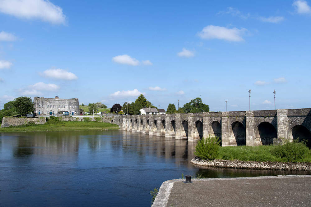 Shannon Br.Bridge · 1.2 mi
 BarracksCastle, unclassified · 1.2 mi
 Shannonbridge - Nearby AttractionsVisitor information · 1.2 mi
 Cross in CloonburrenCross · 1.2 mi
 IndicatedHoly well · 1.3 mi
 Sugarloaf HillMountain / peak · 1.4 mi
 Devenish IslandIsland · 1.5 mi
 HawthornHawthorn · 3.2 mi