What is recorded here
Currakeal and Canrooska still divide the hill pasture where a flat rectangular stone rests on four supports, joining a nearby row, circle and cairn in a sparse funeral cluster. The chamber faces Barraboy Mountain, giving the dead a view across the valleys while the living perhaps marked this saddle because it could be seen from a distance. Stone such as that does not arrive by accident; someone carried, tilted and padded it before written memory began.
In rough hill pasture just NE of a saddle separating the townlands of Currakeal and Canrooska with views to Barraboy Mountain and nearby valleys. A flat-topped rectangular cover-stone (1.5m NE-SW; 1.2m NW-SE; H 0.9m) resting on four support-stones augmented by a pad-stone on the N stone. A stone row (146, vol. 1) stands 49m to SW and another stone row (140, vol. 1), a five-stone circle (65, vol. 1) and a cairn (839, vol. 1) are located 95-100m to the NW.
The above description is derived from 'The Archaeological Inventory of County Cork. Volume 5' (Dublin: Stationery Office, 2009).
Date of upload: 22 December 2009
Boulder-burial in Currakeal is a megalithic tomb, likely dating to the Neolithic or early Bronze Age. Its significance lies in its association with early funerary practices and the use of large stones in burial monuments across the Irish landscape.
The monument record does not grant public access. Check the route and ask the landowner before entering private land.
- What survives
- Recorded monument
Places near here
 Field boundary in CanrooskaField boundary · 108 yd
 Field boundary in Currakeal (bear By.)Field boundary · 223 yd
 Tasmanian bluegumTasmanian bluegum · 1650 yd
 Glengarriff Eccles Hotelhotel · 1702 yd
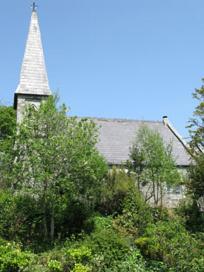 The Old Church Caféchurch/chapel · 1.1 mi
 The Blue PoolHeritage attraction · 1.2 mi
 Graveyard in CappyaughnaGraveyard · 1.3 mi
 Calf IslandIslet · 1.3 mi
 Friars IslandIslet · 1.3 mi
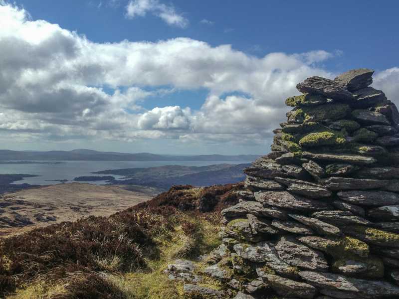 Barraboy Mountain SE TopMountain / peak · 1.4 mi
 Lady Bantry's LookoutViewpoint · 1.5 mi
 Barraboy MountainMountain / peak · 1.7 mi