
What is recorded here
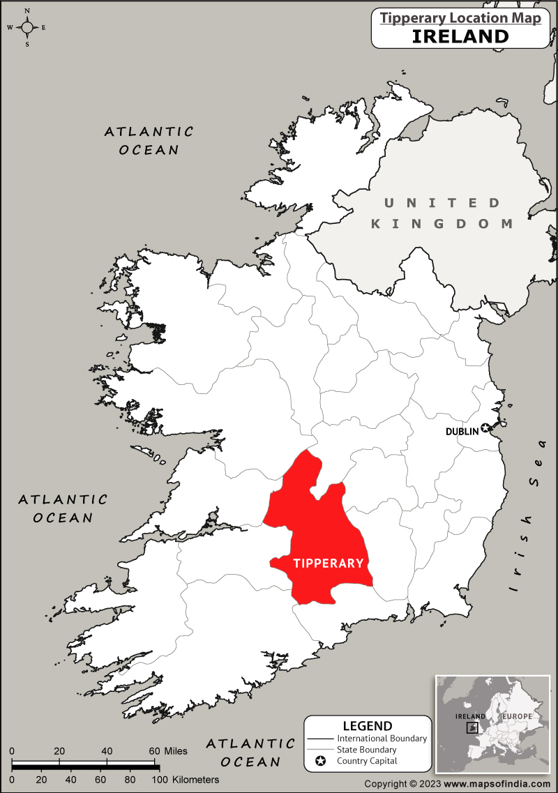
Fulacht fia in Bolintlea is a fulacht fia in Bolintlea, County Tipperary, Ireland. The large, roughly circular mound measures 18 metres north to south and 18.5 metres east to west, rising 0.7 metres above the surrounding ground on a gradual east slope in poorly drained upland grassland. A shallow depression 1.3 metres north to south, 1.2 metres east to west and 0.35 metres deep in the north quadrant probably marks a trough, while a moated site lies 30 metres to the north.
On a gradual E-slope in poorly drained grassland in upland region with moated site (TS049-043----) 30m to N. Large, roughly circular monument (dims. 18m N-S; 18.5m E-W; max. H above ext. 0.7m) with a depression in the N quadrant (dims. 1.3m N-S; 1.2m E-W; max. D 0.35m), probably indicating the presence of a trough. Although there is no 'opening' in the fulacht fia, the mound is less prominent in the N quadrant where the N edge of the depression is 6.5m from the base of the mound.
Compiled by: Jean Farrelly
Date of upload: 26 August 2011
The monument record does not grant public access. Check the route and ask the landowner before entering private land.
- What survives
- Recorded monument
Places near here
 IndicatedFairy fort / earthen ringfort · 1105 yd
 Slieveardagh Househouse · 1.1 mi
 The Warhousehouse · 1.2 mi
 Warhouse HillMountain / peak · 1.2 mi
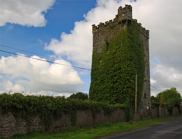 Site of Williamstown CastleCastle, unclassified · 1.2 mi
 Farranrory CastleCastle · 1.4 mi
 Site of ChurchChurch · 1.6 mi
 Top Field at Carey'sForest · 2.3 mi
 Second Field on the HillForest · 2.4 mi
 Bregaun HillMountain / peak · 2.5 mi
 Kilcooly AbbeyHeritage attraction · 4.4 mi
 Derrynaflan TrailHeritage attraction · 6.5 mi
Other information
Photo: Credit not shown in the picture search · Rights wording not checked; contact us if this picture should be removed