What is recorded here
Bocks Lower holds a destroyed underground passage marked only by a T-shaped scar in the rock terrace. The main channel stretches ten metres north-south while a shorter spur juts east, both shallow enough that rain and root pressure may have erased the true depth. People probably cut through solid stone to reach the cashel above, then forgot the entrance or buried it under soil and time. What remains is a bruise in the earth, wide enough for a body but no longer deep enough to prove it.
Situated at the outer edge of a rock outcrop terrace on a W-facing slope and SW of the centre of cashel (MO027-038----). This is a T-shaped depression, consisting of a narrow channel (dims 10.3m N-S; 2m E-W; max. D 0.7m), with a short central spur (dims 2.8m E-W; 3m N-S; max. D 0.8m) extending E, and it is probably a destroyed Man-made underground passage.
Compiled by: Michael Moore
Date of upload: 30 January, 2018
The monument record does not grant public access. Check the route and ask the landowner before entering private land.
- What survives
- Recorded monument
Places near here
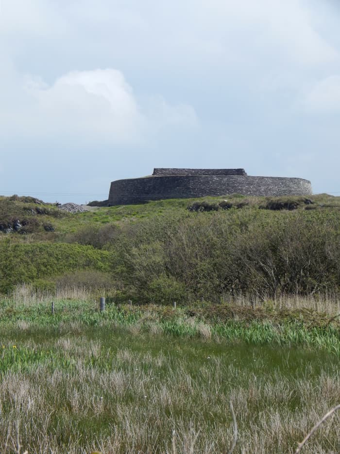 Fairy fort / stone ringfort in Bocks LowerFairy fort / stone ringfort · 12 yd
 IndicatedCrannog · 1105 yd
 Tally WoodWood · 1.1 mi
 mill (water)mill (water) · 1.2 mi
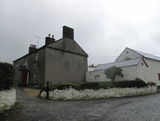 Farm Hillfarmyard complex · 1.2 mi
 Rock IslandIslet · 1.9 mi
 Gully IslandIslet · 1.9 mi
 TobernagalliaghSpring · 3.3 mi
 Fincarn HillMountain / peak · 3.6 mi
 RaferaghMountain / peak · 3.9 mi
 Sillan LakeshoreWood · 4.7 mi
 Mannan Castle (in ruins)Castle, Anglo-Norman masonry castle · 4.7 mi