
What is recorded here
Blanchvillespark holds a sixty-metre circular enclosure cut by modern field boundaries, lying beside a medieval church and graveyard in County Kilkenny. The completed ring may have marked a dwelling, shrine or gathering place before ploughing and fencing broke its shape. People may have walked past that hidden circle for centuries, reading only the church, the grave and the changing colour of the crop above it.
In tillage. A circular enclosure (diam. c. 60m) identified as a cropmark on Google Earth Pro imagery (imagery date 14 July 2018) by Jean-Charles Caillère and Simon Dowling. The enclosure is truncated along the edge of the NE quadrant by a field boundary running NNW-SSE. Another field boundary running NNE-SSW before turning up towards the NW in the W quadrant, crosses the S portion of the enclosure. A medieval church (KK020-025001-) and graveyard (KK020-025002-) are located c. 200m to the SE.
See attached photograph:
KK020-113----_01 Image ©2019 CNEW/Airbus: Google Earth Pro satellite imagery (14 July 2018)
Compiled by: Jean Farrelly
Date of upload: 10 December 2019
The monument record does not grant public access. Check the route and ask the landowner before entering private land.
- What survives
- Recorded monument
Places near here
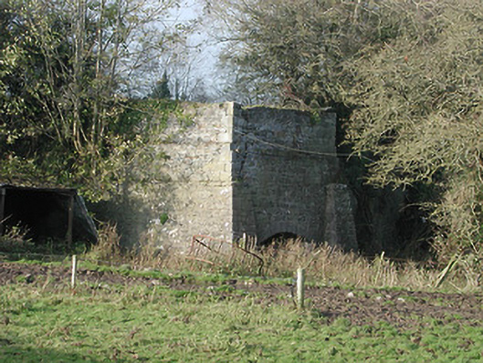 kilnkiln · 835 yd
 Moneynamuck Ringfort (rath)Archaeological place · 853 yd
 Enclosure in MoonhallEnclosure · 952 yd
 Moonhall Castle (ruins)Castle · 1144 yd
 HawthornHawthorn · 1645 yd
 Gowran Railway Stationrailway station · 1.1 mi
 CastleCastle, motte · 1.6 mi
 St. Mogarra’s WellSpring · 2.2 mi
 Red BogForest · 3.9 mi
 Time CapsuleMemorial · 5.2 mi
 Tullaherin Church and Round TowerVisitor information · 5.2 mi
 Kilbline GraveyardArchaeological place · 5.7 mi
Other information
Photo: Credit not shown in the picture search · Rights wording not checked; contact us if this picture should be removed