What is recorded here
Bivallate Rath in Ballymotte is a scheduled ancient earthwork, not a modern invention. Its twin dials suggest deliberate defence or boundary marking during the early Christian period. The stones and soil remain untouched because the state recognises them as heritage worth protecting.
The official Northern Ireland record identifies this as BIVALLATE RATH. Recorded period: E.CHRIST.. Recorded protection: Scheduled. The official map point was placed at the centre of the recorded archaeological site from the source map reference.
The monument record does not grant public access. Check the route and ask the landowner before entering private land.
- What survives
- Recorded monument
Places near here
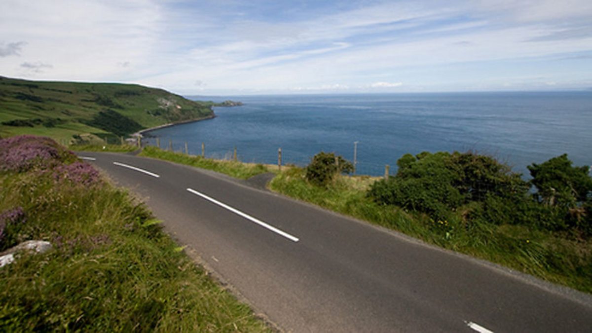 ENCLOSURE (CHART) in Ballypitmave; CrewENCLOSURE (CHART) · 614 yd
 LARGE OVAL ENCLOSURE in CrewLARGE OVAL ENCLOSURE · 748 yd
 CHURCH: CHURCH OF KENLES (unlocated) in Knockcairn (possible); Tullyrusk (possible)CHURCH: CHURCH OF KENLES (unlocated) · 1.3 mi
 Main StreetVisitor information · 1.4 mi
 Glenavy Methodist ChurchChurch · 1.4 mi
 C17TH CHURCH & GRAVEYARD: BALLINDERRY NEW CHURCH in BallinderryC17TH CHURCH & GRAVEYARD: BALLINDERRY NEW CHURCH · 3.3 mi
 Belshaw's Quarry Nature ReserveNature reserve · 4.5 mi
 Slievenacloy Nature ReserveNature reserve · 4.6 mi
 Ram's IslandIslet · 4.7 mi
 CollinMountain / peak · 5.4 mi
 WELL & ?CASTLE in InisloughlinWELL & ?CASTLE · 7.1 mi
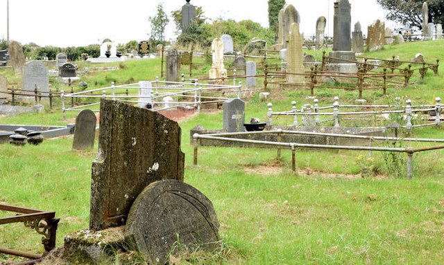 CHURCH & GRAVEYARD in BlarisCHURCH & GRAVEYARD · 7.3 mi