What is recorded here
The barrow (unclassified) in Bigfurze is in County Westmeath, Ireland. The 1837 edition Ordnance Survey six-inch map depicts the site as a sub-oval area measuring 26 metres north-south and 25.5 metres east-west, defined by a bank and truncated by a trackway across the northeast sector. Surviving remains consist of a small earthen mound with a diameter of 8 metres, defined by a low bank-like feature and enclosed by a fosse-like feature on the west-northwest through northwest arc. A relatively modern stone wall is built against a low scarp visible from west to northeast, while local tradition holds that a cave at or near the site may represent a possible man-made underground passage.
Situated on a low rise, in gently undulating, wet pasture with good views in all directions. Depicted on the 1837 ed. OS 6-inch map as a sub-oval shaped area (dims. 26m N-S; 25.5m E-W) defined by a bank and truncated by a trackway across the NE sector. Remains consist of a small earthen mound (diam. 8m) defined by a low bank-like feature which is enclosed by a fosse-like feature WNW-NW, which may be accentuated by an enclosing wall of modern appearance which defines a larger enclosure. The relatively modern stone wall is built against a low scarp visible from W-NE. The remains of a low earthen bank defined the upper edge of the scarp at S and SW.
The top of the mound has a large, shallow depression and there are further indents in the side of the mound at NE, E and W, all owing to disturbance. The perimeter is overgrown with trees & thorn bushes. The interior has some thorn bushes and boulders have been deposited at SW. According to local tradition there is a ‘cave’ at or near the site which may represent a possible Man-made underground passage. A possible barrow (WM017-019----) lies c. 37m to W.
Compiled by: Alison McQueen, Vera Rahilly and Caimin O’Brien
Date of upload: 28 November 2018
The monument record does not grant public access. Check the route and ask the landowner before entering private land.
- What survives
- Recorded monument
Places near here
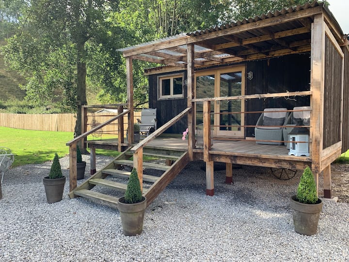 Hut site in BigfurzeHut site · 426 yd
 Partially hachuredFairy fort / earthen ringfort · 871 yd
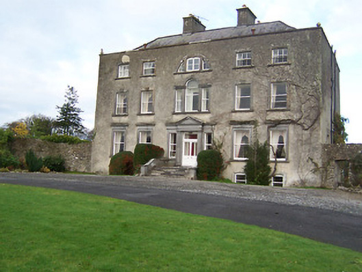 Mearscourt Housecountry house · 1129 yd
 Rathcastle Househouse · 1212 yd
 Site of CastleCastle, unclassified · 1698 yd
 Milltown Castle in ruinsCastle, unclassified · 1.5 mi
 Ancient Ring FortWood · 2.0 mi
 Sessile OakSessile Oak · 3.3 mi
 Abbeyshrule AbbeyRuins · 4.0 mi
 Craft WorkshopHeritage attraction · 5.5 mi
 Guest ServicesVisitor information · 5.5 mi
 Noughaval CemeteryArchaeological place · 8.7 mi