What is recorded here
Aerial photograph (GB89.AI.15) shows the cropmark of a sub-circular enclosure defined by a narrow fosse.
Compiled by: Gillian Barrett
Date of upload: 12 December 2011
The monument record does not grant public access. Check the route and ask the landowner before entering private land.
- What survives
- Recorded monument
Places near here
 Enclosure in BennetsbridgeEnclosure · 535 yd
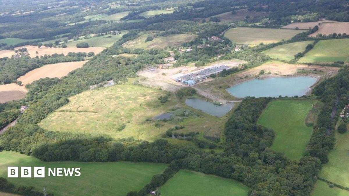 Enclosure in QuarryEnclosure · 633 yd
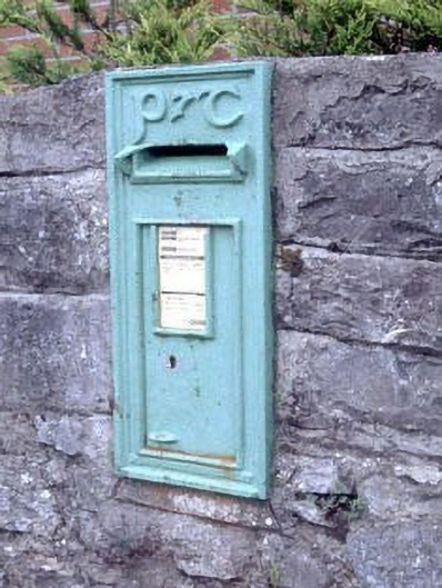 post boxpost box · 1.0 mi
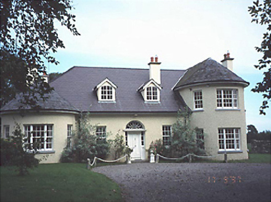 Popefield Househouse · 1.1 mi
 Gone FishingMemorial · 1.4 mi
 Neil HannonMemorial · 1.5 mi
 Whites [sic] Castle, Police BarrackCastle, tower house · 1.6 mi
 Town HallMuseum · 1.6 mi
 CastleCastle, motte · 1.6 mi
 Brackney WoodForest · 3.1 mi
 Scots PineScots Pine · 3.6 mi
 Cobbler's Castle WalkWalking route · 4.6 mi