What is recorded here
Indicated is a fairy fort in County Mayo, Ireland, where a 25-30m oval bank still stands at the south end of a ridge. Blackthorn and brambles have swallowed the entrance, hiding the place from ordinary sight while leaving the eastern and western horizons open for whatever watches from within. The earth remains warm under the thorns, waiting for someone brave enough to walk the circle before dusk.
In pasture, located at S end of a N-S ridge. There is a slight rise in ground level to N, restricting views, but there are good views to E, S and W.
Slightly raised, oval or roughly circular area (estimated diam. 25-30m) enclosed NNW–NE by an earthen bank (Wth 4.2m; int. H 0.85m; ext. H 1.50 at N), which is incorporated into a field fence at E. Elsewhere the bank is reduced to a scarp (H 0.6m at S). A few stones protrude from the internal face of the bank. A low section of scarp (Wth c. 2m) at SE may indicate the original entrance. Large boulders set against the external face of the bank at N appear to be the result of field clearance. The rath is engulfed in blackthorn, hawthorn and brambles, which impeded inspection.
Compiled by: Jane O’Shaughnessy
Date of upload: 13 September 2019
The monument record does not grant public access. Check the route and ask the landowner before entering private land.
- What survives
- Recorded monument
Places near here
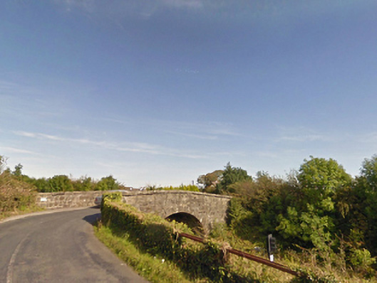 bridgebridge · 679 yd
 IndicatedFairy fort / earthen ringfort · 1291 yd
 Dolmen of the four MaolsArchaeological place · 1.1 mi
 Ballina Railway Stationrailway station · 1.2 mi
 CastleCastle, unclassified · 1.4 mi
 Gull IslandIslet · 1.6 mi
 Battle of Ballinabattle · 1.7 miHumbert MonumentMemorial · 1.8 mi
 Belleck CastleCastle, unclassified · 2.3 mi
 The Marshall Doran CollectionGallery · 3.1 mi
 Belleek WoodsWood · 3.2 mi
 FloretteWreck · 3.3 mi