What is recorded here
Indicated is a 34-metre fairy fort on a low Limerick crest, its ancient scarp reused as a living field boundary. The south-west gap admits draught and destiny alike, while radiating lines carve the pasture into a wheel around the hidden chamber. What ever breathed inside that dry circle is gone, but the shape still holds the memory of being seen.
In pasture, on crest of low rise. Remains consist of a raised circular-shaped area (diam. 34m) defined by a scarp reused as an earth and stone field boundary (Wth 1.4m; int. H 0.25m; ext. H 1.2m). Interior level, dry and clear of overgrowth. Gap (Wth 3.55m) in bank at SSW. Field boundaries radiate out from the enclosure at E and NW. Cropmark of circular-shaped enclosure (diam. c. 30m) visible on Google Earth orthoimage taken 20/01/2020.
See attached sketch plan and Google Earth orthoimages
Compiled by: Caimin O'Brien
Date of upload: 27 October 2021
The monument record does not grant public access. Check the route and ask the landowner before entering private land.
- What survives
- Recorded monument
Places near here
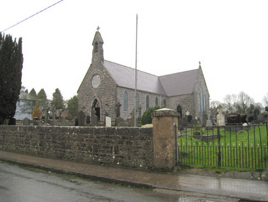 Saint Joseph's Catholic Churchchurch/chapel · 320 yd
 Burial GroundBurial ground · 404 yd
 Kilbeheny Church (in ruins)Church · 522 yd
 Grave YardGraveyard · 538 yd
 Kilbeheny Castle (in ruins)Castle, tower house · 1491 yd
 Coopers WoodWood · 2.5 mi
 Eagles StepCliff · 2.6 mi
 Seefin North TopMountain / peak · 3.2 mi
 CastleCastle, ringwork · 3.2 mi
 Combaun WoodsViewpoint · 3.3 mi
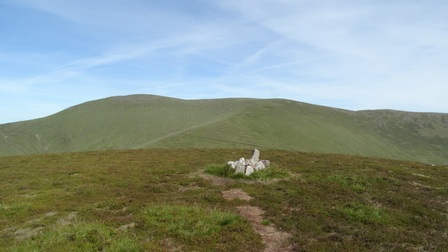 MonabrackMountain / peak · 3.5 mi
 John MandevilleMemorial · 3.6 mi