What is recorded here
Thirty metres from Kilcrohane church, a small cross-cut slab caps a drystone well, while a larger massrock and recumbent slate bearing several faint crosses sit nearby. The arrangement smells of old prayer rather than ornament: water drawn, marks cut, and an ash tree once standing beside the well locally credited with covering St Crohane’s grave. Behaghane keeps its holy edge in little details, as if devotion had been rubbed into stone instead of written on parchment.
Toberavilla/Tobar an Bhile (KE106-032003-) is a spring well is located c. 30m WNW of Kilcrohane Medieval church and graveyard (KE106-032001-). It is covered by a low drystone structure, on top of which lies a cross-incised slab measuring .44m x .12m x .1m thick. An ash tree, marked 'Old Tree' on the first edition of the OS map, formerly stood beside the well and was locally reputed to mark the grave of St Crohane.
A flat-topped boulder, referred to locally as a massrock, is located 27m E of the well. It measures 1.5m x .45m x .7m high, and beside it is a recumbent slate slab (KE106-032008-) on which are a number of lightly incised crosses.
The above description is derived from A. O'Sullivan and J. Sheehan (compilers), 'The Iveragh peninsula: an archaeological survey of South Kerry'. Cork University Press (1996), no. 1054. In certain instances the entries have been revised and updated in the light of recent research.
Date of upload: 30 July 2013
The monument record does not grant public access. Check the route and ask the landowner before entering private land.
- What survives
- Recorded monument
Places near here
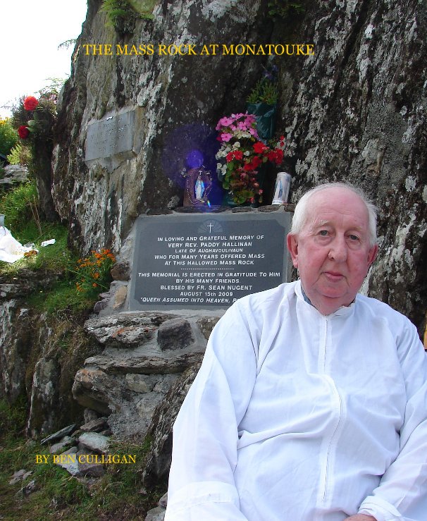 Mass-rock in BehaghaneMass-rock · 1 yd
 Old TreeRitual site, holy tree/bush · 30 yd
 Kilcrohane Church (in ruins)Church · 43 yd
 Copper Mines (Disused)Mine, copper · 939 yd
 Castle Cove (in Ruins)Castle, tower house · 1736 yd
 Reen BeachBeach / strand · 1.3 mi
 Eagles HillMountain / peak · 1.4 mi
 Cnoc na StéigeMountain / peak · 1.8 mi
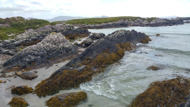 White StrandBeach / strand · 1.8 mi
 2Cliff · 2.9 mi
 Ogham StoneVisitor information · 2.9 mi
 IllaundraneIslet · 3.1 mi