What is recorded here
Aerial photographs (GSI S135/S136) show a cropmark of a small circular feature (est. max diam. c. 20m), possibly a mound site, with two possibly associated ditches extending from the W side.
Date of upload: 15 September 2016
The monument record does not grant public access. Check the route and ask the landowner before entering private land.
- What survives
- Recorded monument
Places near here
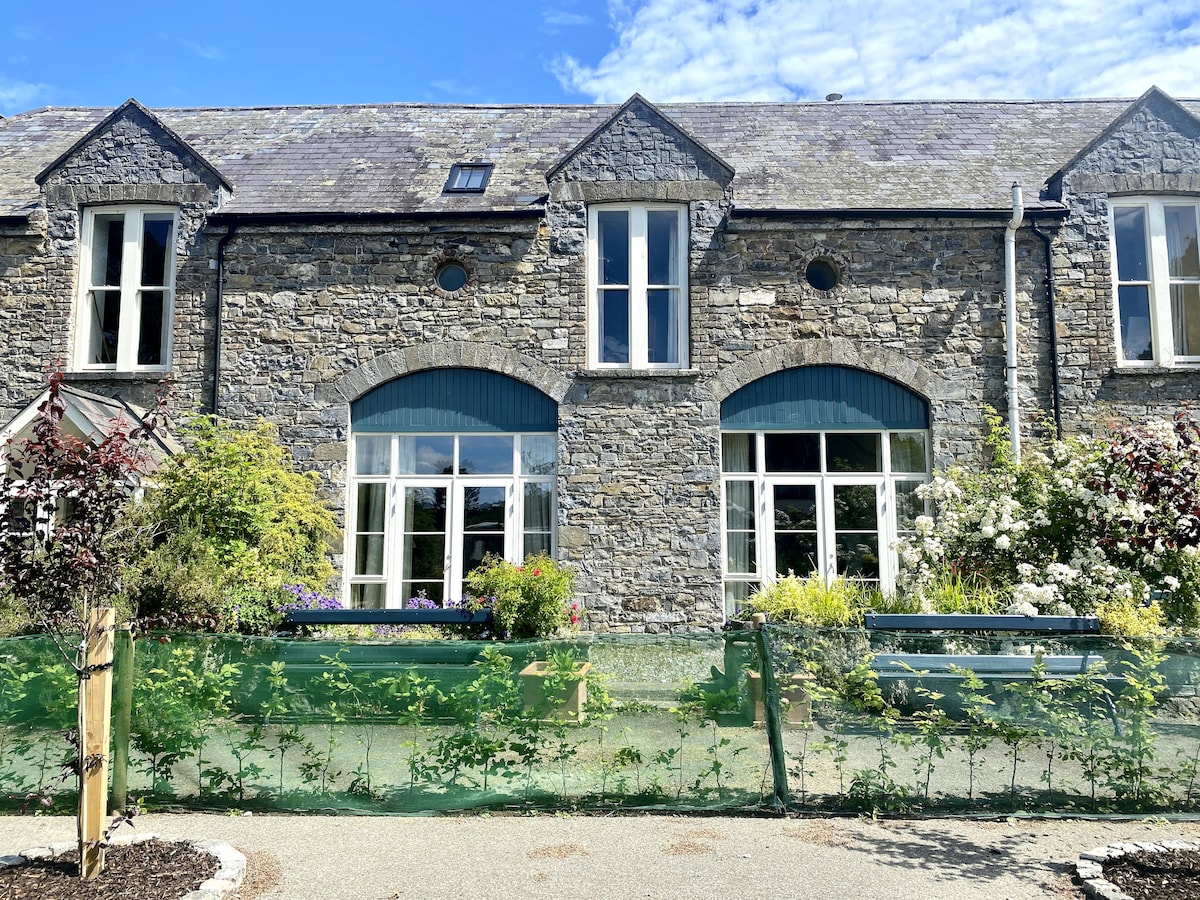 Enclosure in BeaconstownEnclosure · 202 yd
 Not indicatdFairy fort / ringfort · 469 yd
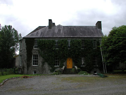 Millbrookmiller's house · 741 yd
 Church in Kilkea UpperChurch · 934 yd
 Dollardstown WoodForest · 1428 yd
 MoatCastle, motte · 1.2 mi
 CastleCastle, tower house · 1.5 mi
 Lorcán Ó TuathailMemorial · 1.6 mi
 Mullaghreelan WoodForest · 1.7 mi
 ProclamationMemorial · 3.6 mi
 Franciscan FriaryHeritage attraction · 3.8 mi
 Castledermot Round TowerHeritage attraction · 3.8 mi