What is recorded here
On marginal land between bog to the NE and rising pasture to the SW. Excavated in 2007 in advance of the N9/N10 Kilcullen to Waterford road scheme (Licence no. E3628). A fulacht fia consisting of a mound (c. 15m N-S; 15m E-W; D 0.15-0.53m) of heat-fractured stones and charcoal-rich clay. There were two well-defined troughs. One (1.64m E-W; 1.1m N-S; D 0.25m) had six stake-holes at the four corners (two at SW and NW) possibly representing a lining around the inside edge. Only part of the SW edge of the second trough survived. Four irregular pits were all filled with heat-fractured stone and charcoal-rich clays. A sample of hazel charcoal from the mound yielded a radiocarbon date of 1125-938 cal BC (UBA-15542). A sample from a stake-hole was dated to 1025-903 cal BC (UBA-10986). The mound and associated features extended beyond the limits of the excavation. A large ceremonial and habitation site (KK031-075---- to KK031-088----) lies 200m to the SW. (Walsh 2010, 234-5, no. 883; Walsh 2012)
Compiled by: Mary Tunney
Date of upload: 11 November 2013
The monument record does not grant public access. Check the route and ask the landowner before entering private land.
- What survives
- Recorded monument
Places near here
 BaysrathArchaeological place · 123 yd
 farm housefarm house · 507 yd
 Church in ruinsChurch · 805 yd
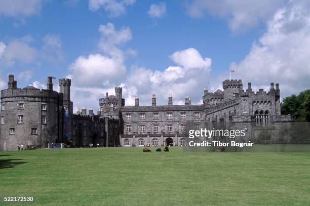 Danganbeg Castle (Site of)Castle, unclassified · 977 yd
 Sheepstown Castle (site of)Archaeological place · 1208 yd
 Ballyboodan RingfortArchaeological place · 1548 yd
 Turkey OakTurkey Oak · 1.4 mi
 Church (in Ruins), GraveyardChurch · 1.7 mi
 Graveyard in DerrynahinchGraveyard · 2.4 mi
 Castlemorris Pheasant LoopWalking route · 2.7 mi
 Castlemorris WoodForest · 2.7 mi
 Kells Augustinian PrioryHeritage attraction · 3.4 mi