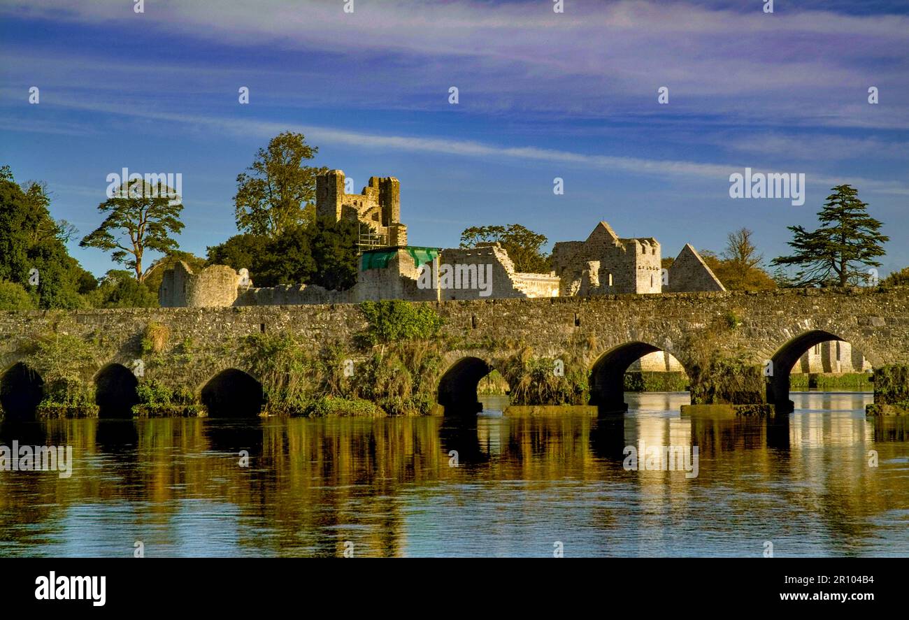
What is recorded here
In flat wet reclaimed floodplains of the Morningstar River 80m to NW, ring-ditch (LI039-205----) immediately to SSE. Depicted on the 1840 ed. OSi 6-inch map as a sub-circular shaped platform (diam. c. 16m) defined by a scarp. Not marked on 1897 ed. OSi 25-inch map indicating that the monument was levelled between these map dates. Partially levelled monument visible as a circular-shaped area defined by a scarp and wide fosse on aerial photograph (ASIAP (328) 7, 3) taken 5/10/2002. Monument visible as a sunken circular shaped area (diam. c. 10m) standing inside a larger circular-shaped area (diam. c. 48m) defined by a waterlogged fosse visible on OSi orthophotograph taken between 2005-12 and on Google Earth orthoimages.
See attached Archaeological Survey of Ireland aerial photograph (ASIAP (328) 7, 3) and Google Earth orthoimages.
Compiled by: Fiona Rooney
Date of upload: 14 April 2021
See attached ASI aerial photograph ASIAP – 328/1, 2, 3, 4, 5, 6, 7 on 15/10/2002.
The monument record does not grant public access. Check the route and ask the landowner before entering private land.
- What survives
- Recorded monument
Places near here
 Burial in RathcannonBurial · 259 yd
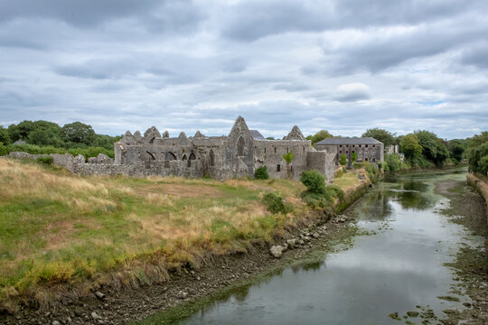 Partially hachuredMan-made underground passage · 1177 yd
 OutlinedBawn · 1510 yd
 Castle IeversCastle, unclassified · 1.1 mi
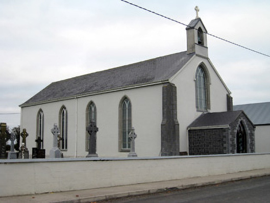 Catholic Church of Saint John the Baptistchurch/chapel · 1.2 mi
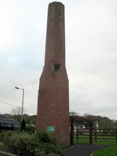 chimneychimney · 1.2 mi
 Monasteranenagh AbbeyHeritage attraction · 3.4 mi
 European ashEuropean ash · 4.3 mi
 Lough GurVisitor information · 4.7 mi
 Biodiversity in the Maigue CatchmentVisitor information · 5.1 mi
 Pedunculate OakPedunculate Oak · 5.7 mi
 The SpectaclesVisitor information · 5.8 mi
Other information
Photo: Credit not shown in the picture search · Rights wording not checked; contact us if this picture should be removed