What is recorded here
Situated on a low rise in undulating pasture. Depicted on all editions of the OS 6-inch map as a small circular enclosure at the SSW side of the Sligo-Ballina road. A NNE-SSW field boundary is shown adjacent to the E side of the site. An earlier field report (SMR (1989) file 1994) described a poorly defined area of raised ground outlined by an irregular scarp (max. H 0.4m) extending in an arc from S-SSW-SW. The remainder of the site was occupied by an animal pen. The site has since been levelled and there are no remains now visible at ground level.
Compiled by: Patrick F. O'Donovan
Date of upload: 19 January 2011
The monument record does not grant public access. Check the route and ask the landowner before entering private land.
- What survives
- Recorded monument
Places near here
 Carrowgarry Househouse · 686 yd
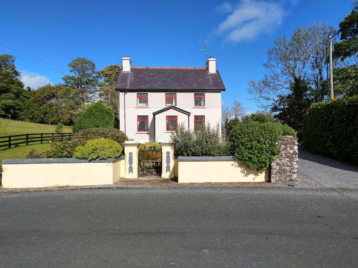 Enclosure in LisnarawerEnclosure · 735 yd
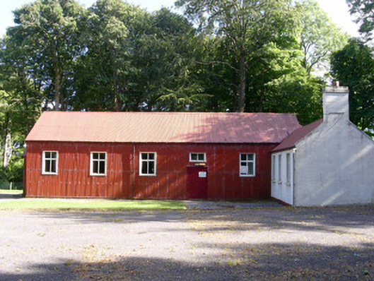 The Hallcommunity centre · 754 yd
 IndicatedEnclosure · 808 yd
 Bawn in Tanrego WestBawn · 1450 yd
 Giant's GraveArchaeological place · 1561 yd
 Lahanacappul IslandIslet · 1.2 mi
 CastleCastle, ringwork · 1.4 mi
 Ballinlig PointHeadland · 1.4 mi
 European ashEuropean ash · 1.5 mi
 Portavaud PointHeadland · 1.6 mi
 Pigeonpark WoodForest · 1.8 mi