What is recorded here
Eight barrows cluster on a narrow esker in County Kildare, six locked inside a circling bank while two lie abandoned slightly south. The third from the north remains a low, broad berm, abutted at its edge by another mound. Sand and gravel were stripped from beside them, yet these ancient shapes still hold their line above the pasture.
Eight barrows occupy the fairly level, nettle-covered, narrow upper surface of a short, N-S esker in level pasture, with evidence of previous extensive sand/gravel extraction immediately to the N and E. Six contiguous barrows (KD019-001001-, KD019-001002-, KD019-001003-, KD019-001006-, KD019-001008-, KD019-001009-) run N-S, in-line at the N end of the esker and are contained in an enclosure (KD019-001004-) which girdles the lower slopes of the esker, while a seventh and eight barrow (KD019-001005-, KD019-001007-, ) lies c. 48m slightly down slope, and outside the enclosure, to the S.
KD019-001003- is the third-most northerly barrow in the group. A small circular area (diam. 6.6m) is defined by a low, broad berm (Wth 3.2m; ext H 0.1-0.4m) NW-NE and SE-SW. The monument is abutted at N by another barrow (KD019-001002-).
Compiled by: Gearóid Conroy
Revised by: Caimin O'Brien with details kindly provided by Chris Corlett
Date of revised upload: 29 November 2018
A stepped barrow, likely dating to the Early Bronze Age, associated with a group of eight barrows on an esker; such barrows are significant for understanding burial practices and settlement patterns in post-glacial landscapes.
The monument record does not grant public access. Check the route and ask the landowner before entering private land.
- What survives
- Recorded monument
Places near here
 IndicatedEnclosure · 25 yd
 Digby Bridge and 16th Lockbridge · 1013 yd
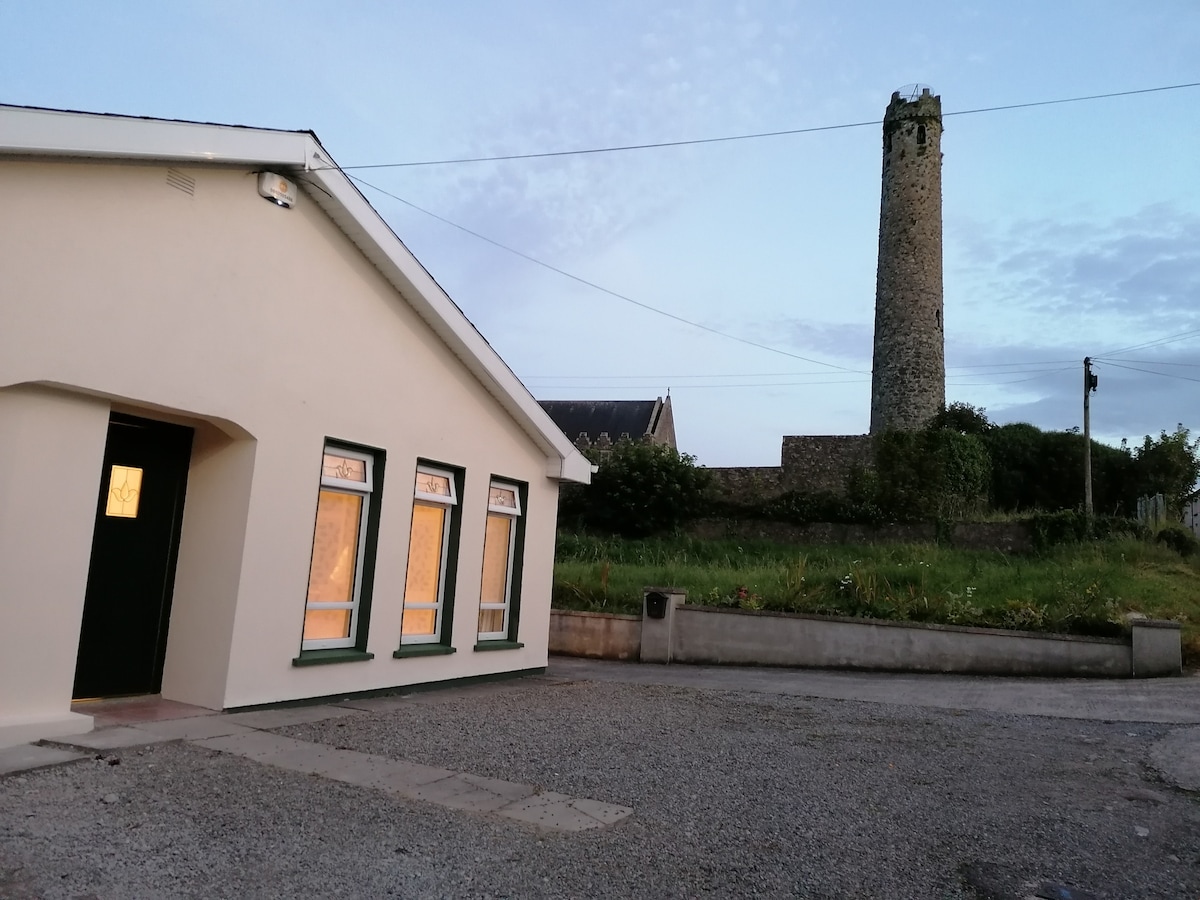 Enclosure in BallysizeEnclosure · 1189 yd
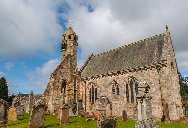 Brides Church (in ruins)Church · 1406 yd
 Sallins LodgeCastle, tower house · 1.6 mi
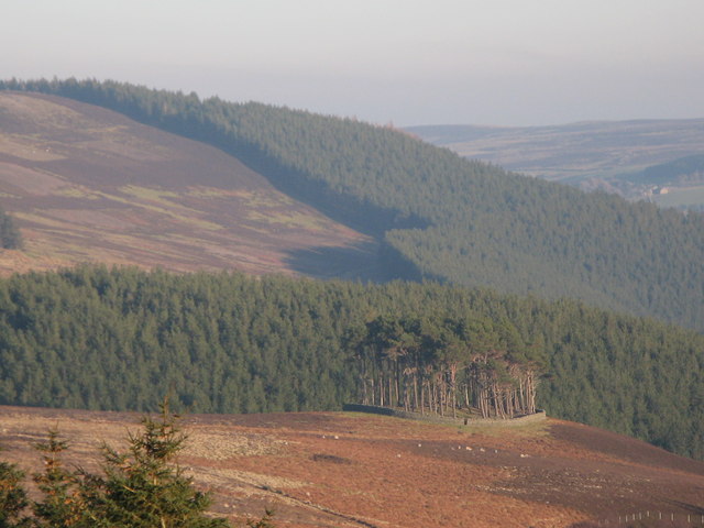 TumulusWood · 1.9 mi
 Museum of MotorsportMuseum · 2.0 mi
 Castle (in Ruins)Castle, unclassified · 2.0 mi
 Naas ParkWood · 2.3 mi
 Poplar SquarePicnic place · 2.8 mi
 Grand Canal WayVisitor information · 5.0 mi
 Athgoe HillMountain / peak · 7.9 mi