What is recorded here
Bowman (1934, 360) recorded 'tumulus' with stone on top on Thomas Barrett's land in Laght wood; 'Circular mound about 3 feet high. The diameter of the mound is 16 feet'; stone ('3ft 3in by 3ft 6in by 7in') on top. Exact location not known. Six stones (CO039-026---, CO039-02701-, CO039-02702-, CO039-028---, CO039-227---, CO039-230---) recorded by Bowman (ibid.) in Laght wood within a radius of 'about 350 yards'.
The above description is derived from the published 'Archaeological Inventory of County Cork. Volume 4: North Cork' (Dublin: Stationery Office, 2000). In certain instances the entries have been revised and updated in the light of recent research.
Date of upload/revision: 14 January 2009
The monument record does not grant public access. Check the route and ask the landowner before entering private land.
- What survives
- Recorded monument
Places near here
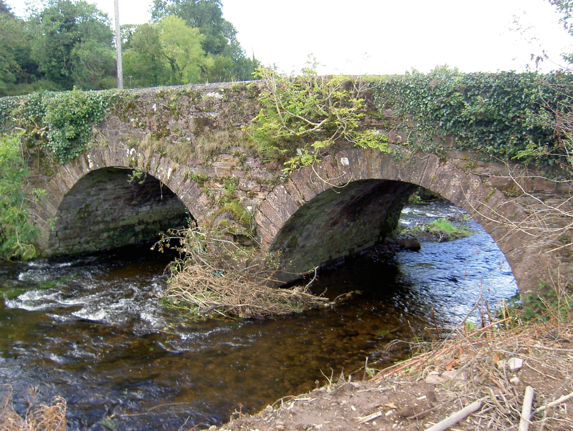 Lyon's Bridgebridge · 1331 yd
 Burial ground in Killowen (muskerry West By.)Burial ground · 1386 yd
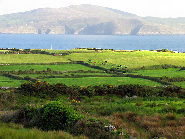 IndicatedKiln, lime · 1559 yd
 Rathcool WoodWood · 1718 yd
 Ecclesiastical enclosure in KilcorneyEcclesiastical enclosure · 1.0 mi
 Castle and TurretCastle, tower house · 2.1 mi
 Battle of Knocknaclashybattle · 2.6 mi
 Dromsicane Castle (in Ruins)Bawn · 2.8 mi
 Millstreet Tourist InformationVisitor information · 3.2 mi
 St. Patrick's ChurchVisitor information · 3.2 mi
 Millstreet Museum & Tourist Information CentreMuseum · 3.2 mi
 Blackwater (Duhallow) WayWalking route · 3.3 mi