What is recorded here
Timoney (1984, 322, no. 2) describes this as follows: ‘Sited on top of a drumlin and overgrown with whins, this ring-barrow is 14.50 m in overall diameter. A circular mound, 6.10 m in diameter and 65 cm high, is surrounded by "U"-bottomed fosse, 1.90 m wide and 55 cm deep, and this in turn is surrounded by a bank, 2.30 m wide and 50 cm high. Burenhult (1980:1, 93, 107) includes this within Structure 13, Knocknahur North, recte Ballybeg, a group of five structures, all of which registered very low phosphate values.’
Compiled by: Paul Walsh
Date of upload: 28 January 2014
The monument record does not grant public access. Check the route and ask the landowner before entering private land.
- What survives
- Recorded monument
Places near here
 Field boundary in Ballybeg (carbury By.)Field boundary · 1 yd
 Enclosure in SeafieldEnclosure · 173 yd
 Church (in Ruins)Church · 756 yd
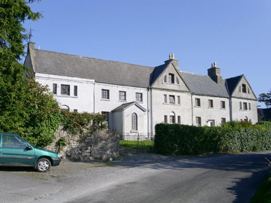 Primrosegrange Houseschool · 1168 yd
 Castle (in Ruins)Castle, unclassified · 1268 yd
 Carrowmore Visitors CentreVisitor information · 1725 yd
 The GlenWood · 1.1 mi
 Carrowmore Megalithic CemeteryHeritage attraction · 1.1 mi
 Knocknarea trailWalking route · 1.3 mi
 CarrigeenfaddaIslet · 1.3 mi
 KnocknareaMountain / peak · 1.6 mi
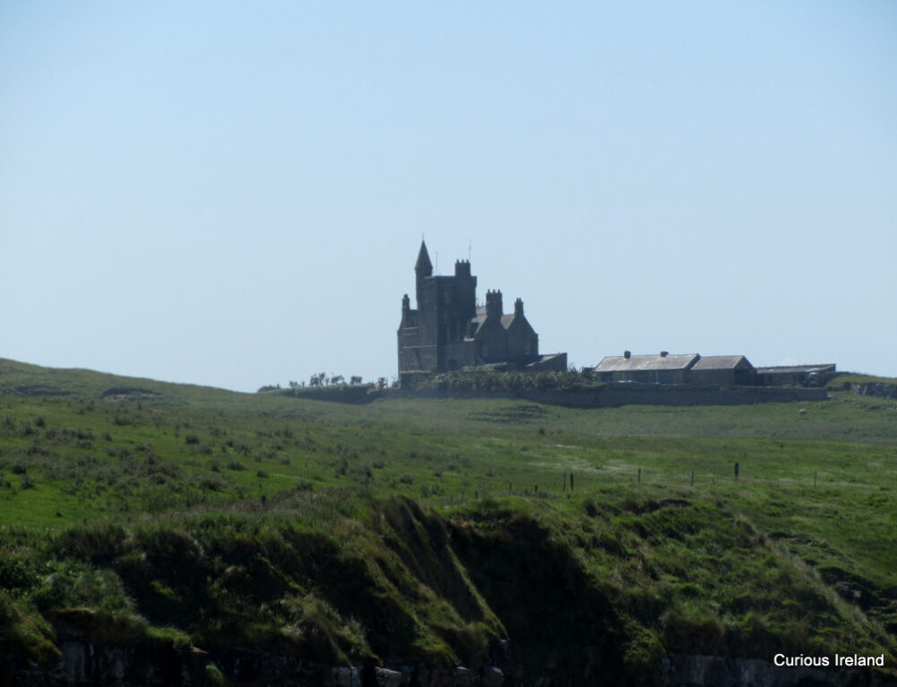 CastleCastle, unclassified · 2.3 mi