What is recorded here
In farmland, c. 40m to the ESE of the site of a rath (GA104-019----). According to McCaffrey (1952, 24, no. 55; 1955, 222), this circular ring-barrow (diam. 37m) was defined by a low flat-topped mound (diam. 17.7m; H c. 0.42m) encircled by a fosse and external bank. It was subsequently bulldozed (Topgr. Files, NMI) and no visible surface trace survives. However, its outline is clearly visible as a cropmark on aerial imagery taken in 2018 (Google 2019).
Compiled by: Galway Archaeological Survey, UCG
Date of upload: 9 August 2019
Circular ring-barrow, likely dating to the Early Christian or Early Medieval period. Its association with a nearby rath suggests a possible funerary or ceremonial function within a broader settlement landscape.
The monument record does not grant public access. Check the route and ask the landowner before entering private land.
- What survives
- Recorded monument
Places near here
 CaveMan-made underground passage · 379 yd
 Dermot & Grania's BedArchaeological place · 1125 yd
 Killogilleen Church (in ruins)Church · 1547 yd
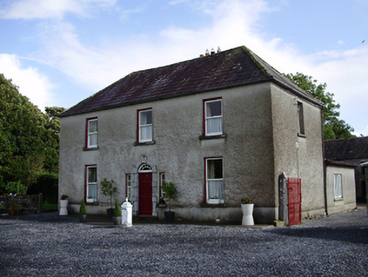 Carheen Househouse · 1.0 mi
 Cregg Castle (in ruins)Castle, tower house · 1.1 mi
 CarnanthomasCastle, unclassified · 1.4 mi
 Blake's IslandIslet · 4.0 mi
 Ash IslandIslet · 4.3 mi
 Moyard WoodWood · 4.6 mi
 Kilcornan ForestWood · 7.5 mi
 KnocknarebanaMountain / peak · 8.9 mi
 Drumacoo Monastic SiteHeritage attraction · 9.1 mi