What is recorded here
Barrow holds a lost cromleagh where two standing stones sagged apart and dropped their top stone near the sea cliff facing Fenit Island. The Kerry Field Club saw those remains in December 1941, but the exact spot has slipped from human memory. Perhaps the cliff took the structure back, or perhaps people stopped going there when the sea began to watch them.
The precise location of a possible megalithic structure in the townland of Barrow recorded in the Minute Book of County Kerry Field Club 6 December 1941 (Vol. 1, 242-3) has not been identified. The Kerry Field Club recorded that at the W end of the townland near the sea cliff facing Fenit Island they found 'the remains of a cromleagh of conglomerate stone. It has the appearance as if the two standing stones sagged apart and the top stone then rolled off'. An unlocated standing stone (KE028-093----) was recorded by the Kerry Field Club in the field opposite to the possible megalithic structure.
Compiled by: Caimin O'Brien
Date of upload: 14 June 2022
The monument record does not grant public access. Check the route and ask the landowner before entering private land.
- What survives
- Recorded monument
Places near here
 IndicatedChurch · 555 yd
 Enclosure in BarrowEnclosure · 600 yd
 CloghnacroustaNamed rock · 832 yd
 Barrow Househouse · 875 yd
 Ballanalahee FortArchaeological place · 980 yd
 CastleCastle, unclassified · 1.1 mi
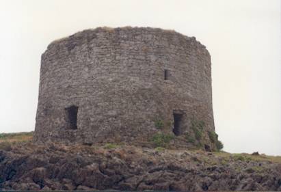 Barrow Round Castle (in ruins)Castle, tower house · 1.2 mi
 Tralee BayBay · 1.6 mi
 Banna StrandBeach / strand · 2.0 mi
 Fenit BeachBeach / strand · 2.3 mi
 Samphire IslandIslet · 2.5 mi
 Saint BrendanMemorial · 2.6 mi