What is recorded here
On a long, gentle S-facing slope. The second most southerly of a linear group of nine possible barrows (KD022-090---- to KD022-098----) with two more 'outliers' at the N (KD022-089----) and S ends (KD022-099----). Visible on an aerial photograph (DoD 1999). The group form a gently curving line (L c. 80m NW-SE) and all comprise small, low, circular, flat-topped mounds (basal diams. 4.9-6.2m; upper surface diams. 2.8-3.4m; H 0.1-0.2m), all (except the most southerly (KD022-098----)) defined by faint traces of a fosse (Wth 1m). They are not evenly spaced and lie between 2m and 20m apart.
Compiled by: Gearóid Conroy
Date of upload: 10 June 2011
Ditch barrow, likely dating to the Early Bronze Age (c. 2000–1500 BCE). It is part of a linear group of barrows, suggesting a ritual or funerary landscape with possible territorial or social significance.
The monument record does not grant public access. Check the route and ask the landowner before entering private land.
- What survives
- Recorded monument
Places near here
 Enclosure in Curragh (kildare Ed)Enclosure · 20 yd
 RatheenanairyArchaeological place · 420 yd
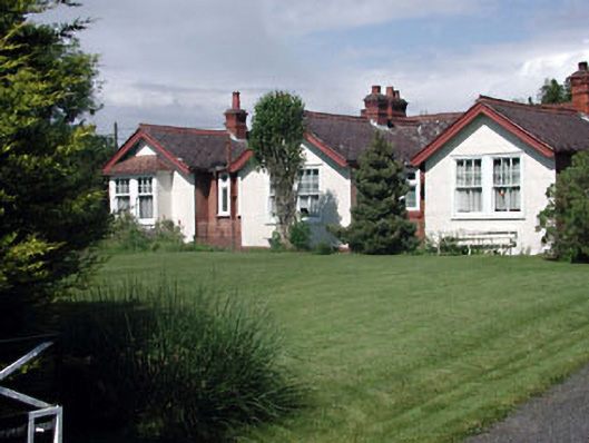 Munster Lodgeofficer's house · 1.5 mi
 Pollardstown Fen Nature ReserveNature reserve · 1.5 mi
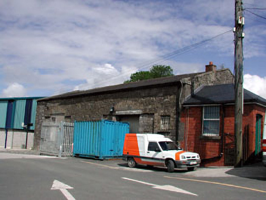 Kildare Railway Stationstore/warehouse · 1.6 mi
 Castle in ruinsCastle, Anglo-Norman masonry castle · 1.8 mi
 CastleCastle, motte · 1.8 mi
 Saint Fiachra's GardenHeritage attraction · 2.1 mi
 Bee-bee treeBee-bee tree · 2.2 mi
 Horse MuseumMuseum · 2.2 mi
 Bithia Mary CrokerMemorial · 6.1 mi
 Grand Canal WayVisitor information · 7.1 mi