What is recorded here
Barrow is a reconstructed bowl-barrow on a Mayo hilltop, overlooking Ballyglass Lough and holding the buried remains of people who watched that water long before roads or fences passed nearby. Hencken excavated it in 1935, revealing a circular mound, shallow fosse and broken earthen bank, then the site was rebuilt rather than left as a scarred memory. It is small enough to walk around in minutes, yet large enough to remind us that ordinary land in County Mayo still keeps dead hands beneath its grass.
On summit of hill, overlooking Ballyglass Lough to N. Reconstructed after excavation. Circular mound (diam. 8.5m N-S; H 1.4m), proved upon excavation (Hencken 1935, 75-82) to be enclosed by fosse (D 0.5m), levelled E to ESE, and external earthen bank SSE to NNE, with break (Wth 1m) in NW. Erection of stone fence probably led to site disturbance on E. Contained burials (MA100-071002-).
The above description has been derived from D. Lavelle (compiler), An Archaeological Survey of Ballinrobe and District including Lough Mask and Lough Carra. Lough Mask and Lough Carra Tourist Development Association (1994), No. 41.
Date of upload: 4 February 2013
Bowl barrow, likely dating to the Early Bronze Age. Its location on a prominent hill summit suggests ritual or commemorative significance, typical of funerary monuments from this period.
The monument record does not grant public access. Check the route and ask the landowner before entering private land.
- What survives
- Recorded monument
Places near here
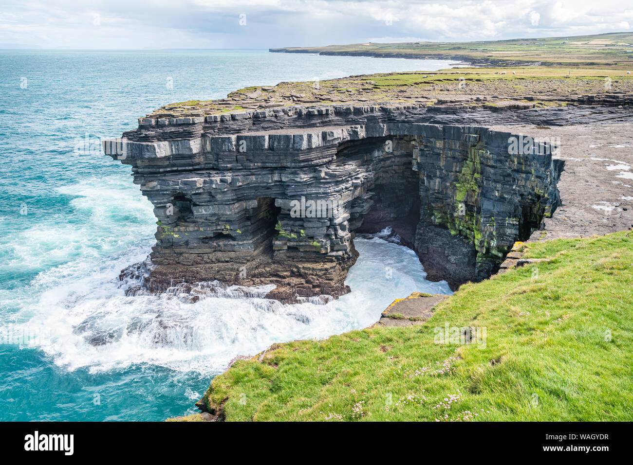 IndicatedFairy fort / earthen ringfort · 718 yd
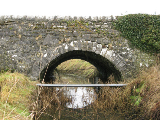 Ballyglass Bridgebridge · 891 yd
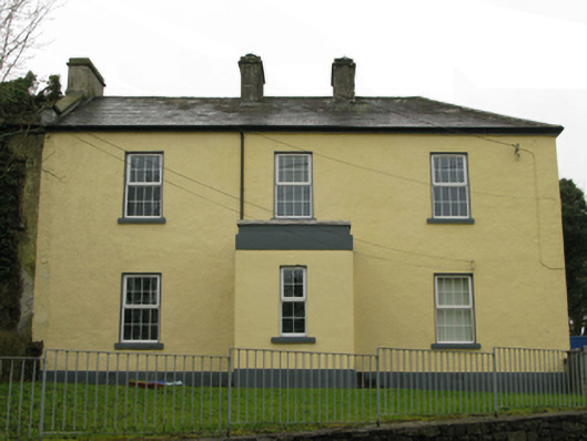 Ballyglass Garda Síochána Stationgarda station/constabulary barracks · 914 yd
 Enclosure in Knockboy (carra By.)Enclosure · 1429 yd
 Bawn in BellanaloobBawn · 1.1 mi
 Moore Hall Forest TrailWalking route · 2.6 mi
 Castle LucasCastle · 2.7 mi
 Creevagh IslandIslet · 2.7 mi
 Connors IslandIslet · 2.8 mi
 Moore Hall ForestForest · 2.8 mi
 Kiltoom PointHeadland · 3.0 mi
 Cerberus, from Thomastown HouseMemorial · 3.4 mi