What is recorded here
Enclosure in Barnasrahy is an enclosure in Barnasrahy, County Sligo, Ireland. Patrick O'Donovan recorded it in the SMR in 1989 as an Enclosure Possible because an aerial photograph showed a subrectangular shape with a low bank. The west and south sides remain visible, while a road and a house define the other two sides, leaving it impossible to tell whether the feature is a monument or a small field.
Listed in the SMR (1989) and classified 'Enclosure Possible'. Not included in the RMP (1995). Not indicated on any edition of the OS 6-inch map. Its inclusion in the SMR was based on the of a feature identifed from a high level aerial photograph (OS 1 3307-8, Roll 160, Pr. 25). Upon inspection no archaeological remains were identified. However this is visible on the OSi 2010 aerial photograph. It is comprises a subrectanglar feature of which only the W (present L c.37m) and the S (present L c.63.5m) sides are now visible. The enclosing element appears to be a low bank. The S side is slightly curvilinear in plan projecting out in a S direction. The N side is now defined by a road whilst the E side is defined by a house and garden. On the basis of the above evidence it is impossible to determine whether this is a monument or simply a small field.
Compiled by: Patrick O'Donovan
Date of upload: 01 October 2013
The monument record does not grant public access. Check the route and ask the landowner before entering private land.
- What survives
- Recorded monument
Places near here
 TobernaveenHoly well · 430 yd
 Enclosure in BallydooganEnclosure · 651 yd
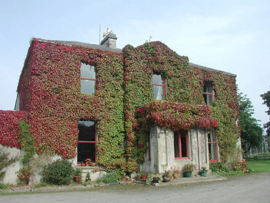 Woodville Househouse · 705 yd
 Carrowmore Megalithic CemeteryHeritage attraction · 1443 yd
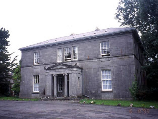 Kevinsfort Househouse · 1463 yd
 Carrowmore Visitors CentreVisitor information · 1561 yd
 St. John's CathedralMemorial · 1.7 mi
 Famine MemorialMonument · 1.8 mi
 Discover IrelandVisitor information · 1.8 mi
 CastleCastle, Anglo-Norman masonry castle · 1.8 mi
 Castle (in Ruins)Castle, unclassified · 1.9 mi
 Sligo AbbeyMuseum · 2.0 mi