What is recorded here
Slightly off the summit of a hillock in gently undulating terrain, under pasture. Identified during field survey. There is a ditch barrow (TS066-166----) 86m to the NNW, a ring-barrow (TS066-172----) and stepped barrow (TS066-122----) 100m and 180m to the S respectively. An upright of sedimentary stone (dims. at base 0.47m; at top 0.43m NE-SW x 0.16m NW-SE; H 1.83m) of rectangular section and orientated ENE-WSW (60°-240°). The stone tapers slightly towards the top and the apex of the stone slopes upwards towards the WSW. Due to the sedimentary nature of the stone the sides are very flat and straight. There is a hollow depression (D 0.25-03m; Wth 4.5-4.7m) around the base of the stone caused by cattle poaching when they use the stone as a scratching post.
Compiled by: Jean Farrelly
Date of revised upload: 9 September 2014
The monument record does not grant public access. Check the route and ask the landowner before entering private land.
- What survives
- Recorded monument
Places near here
 BarrowBarrow, unclassified · 243 yd
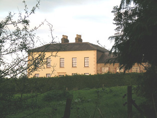 Ballywire Househouse · 551 yd
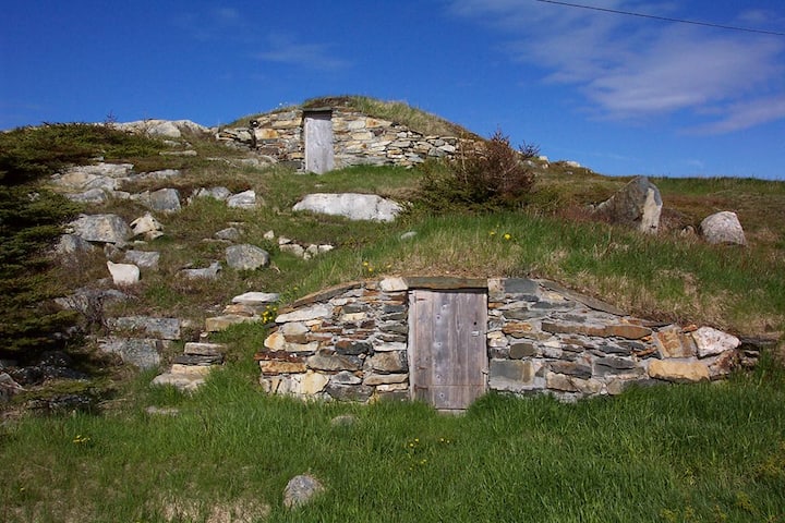 Enclosure in Kilross (clonbeg Par.)Enclosure · 769 yd
 Aughaclareen Bridgebridge · 1042 yd
 Carn (site of)Cairn, burial cairn · 1.3 mi
 Darby's Bed Walk LoopWalking route · 1.9 mi
 Duntryleague HillMountain / peak · 1.9 mi
 Duntryleague - hachuredCastle, ringwork · 2.4 mi
 Ryves CastleCastle, unclassified · 2.5 mi
 Saint Patrick's WellSpring · 3.3 mi
 St Patrick's WellSpring · 3.9 mi
 Knockanebrack HillMountain / peak · 4.1 mi