What is recorded here
In low-lying, gently undulating, marshy terrain, in rough pasture, at the base of a hillock which is surmounted by a standing stone (TS066-198----), visible 100m to the N. A stream runs roughly N-S c. 120m to the W. There is a stepped barrow (TS066-122----) 80m to the S and a ditch barrow (TS066-166----) 184m to the N. This monument was identified on an aerial photograph (Air Corps 249/16, 02/09/1959). A circular, slightly raised mound (diam. 6.5m) enclosed by a fosse (Wth 1.4-1.6m; D 0.08-0.14m) and a poorly preserved outer bank (int. H 0.1-0.15m; ext. H 0.8-0.1m; Wth 1.2-1.9m at crest, 1.4-2.3m at base).
Compiled by: Jean Farrelly
Date of upload: 13 March 2013
A Neolithic ring-barrow; significant as a rare burial monument type in the region, often associated with early farming communities.
The monument record does not grant public access. Check the route and ask the landowner before entering private land.
- What survives
- Recorded monument
Places near here
 BarrowBarrow, unclassified · 281 yd
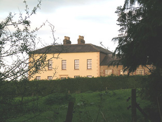 Ballywire Househouse · 503 yd
 Enclosure in Kilross (clonbeg Par.)Enclosure · 858 yd
 Aughaclareen Bridgebridge · 1149 yd
 Carn (site of)Cairn, burial cairn · 1.3 mi
 Darby's Bed Walk LoopWalking route · 1.8 mi
 Duntryleague HillMountain / peak · 1.8 mi
 Duntryleague - hachuredCastle, ringwork · 2.4 mi
 Ryves CastleCastle, unclassified · 2.5 mi
 Saint Patrick's WellSpring · 3.3 mi
 St Patrick's WellSpring · 3.9 mi
 Knockanebrack HillMountain / peak · 4.0 mi