What is recorded here
Marian and the endless kitchen, the standing stone is a thin blade of rock in an open field. It does not claim to be a chamber or a temple. It claims only that someone lifted it, stood it in soil, and left it for every person who would later point at it and ask what it means. The answer is not hidden. The answer is that human hands can shape the world and leave it shaped.
The official Northern Ireland record identifies this as STANDING STONE. Recorded period: PREHISTORIC; UNCERTAIN. The official map point was placed at the centre of the recorded archaeological site from the source map reference.
Likely dating to the Neolithic or Bronze Age, this standing stone may have functioned as a territorial marker, ceremonial focus, or astronomical alignment point. No specific folklore or detailed use is recorded for this site.
The monument record does not grant public access. Check the route and ask the landowner before entering private land.
- What survives
- Recorded monument
Places near here
 possible MOTTE SITE; MULTIPERIOD CASTLE SITE: LISANOURE CASTLE or LOUGH GUILE CASTLE or LOUGH KEOULLE in Castlequarterpossible MOTTE SITE; MULTIPERIOD CASTLE SITE: LISANOURE CASTLE or LOUGH GUILE CASTLE or LOUGH KEOULLE · 1550 yd
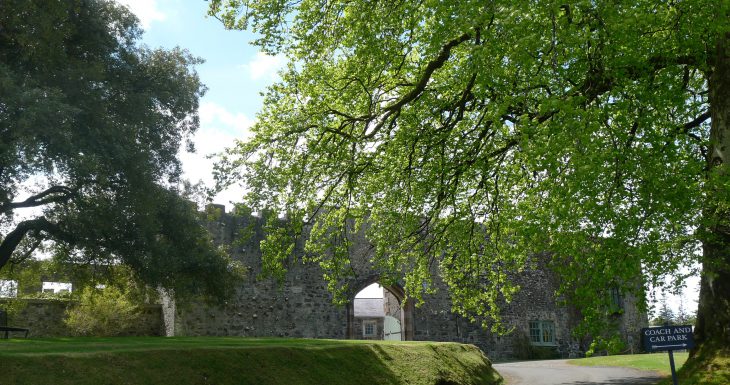 Lisanoure CastleCastle · 1575 yd
 CROSS-CARVED STONE in Ballyknock BigCROSS-CARVED STONE · 1.2 mi
 ENCLOSURE in AltarichardENCLOSURE · 2.0 mi
 Ballylough Big HillMountain / peak · 3.0 mi
 SlievenahanaghanMountain / peak · 3.4 mi
 Slieveanorra ForestForest · 3.8 mi
 Causeway Coast and Glens Heritage TrustVisitor information · 4.6 mi
 PRE-NORMAN CHURCH & ROUND TOWER; MEDIEVAL PARISH CHURCH; POST-MEDIEVAL CHURCH & GRAVEYARD: ARMOY CHURCH & ROUND TOWER in GlebePRE-NORMAN CHURCH & ROUND TOWER; MEDIEVAL PARISH CHURCH; POST-MEDIEVAL CHURCH & GRAVEYARD: ARMOY CHURCH & ROUND TOWER · 4.9 mi
 Breen ForestForest · 5.4 mi
 The Dark HedgesViewpoint · 5.5 mi
 Gracehill HouseHouse · 5.8 mi