What is recorded here
On a level, exposed rock terrace c. 300m from the sea to the W and with good views to the SSE and NW. A circular area (diam. 18m) is defined by a drystone wall (H c. 1m; T 0.5-0.6m) of loose, drystone construction, the stones laid horizontally apart from a few stones which have been set on their edge from ENE to ESE. The grass-covered interior is generally level but with some areas of exposed bedrock.
Compiled by: Gearóid Conroy and Lynda McCormack
Date of upload: 7 November 2022
The monument record does not grant public access. Check the route and ask the landowner before entering private land.
- What survives
- Recorded monument
Places near here
 IndicatedEnclosure · 231 yd
 AilladieCliff · 294 yd
 BallyryanCliff · 497 yd
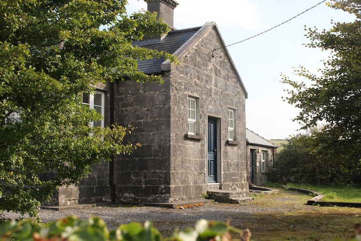 Enclosure in OughtdarraEnclosure · 1261 yd
 The BurrenHeritage attraction · 1270 yd
 Crumlin Church (in Ruins)Church · 1.2 mi
 ( Poulomega ? )Cave · 1.5 mi
 Ballinalacken CastleCastle · 1.8 mi
 PollnagreeCave · 1.9 mi
 Doolin Cave Visitor CentreHeritage attraction · 2.0 mi
 OughtdarraCliff · 713 yd
 Enclosure in BallynahownEnclosure · 1308 yd