What is recorded here
Circular ring-ditch (max. diam. c. 12m) showing as cropmark on aerial photograph (CUCAP, BGG 85, 1971). Not visible at ground level. There are three other ring-ditches in the vicinity (KK010-002003-; KK010-002002-; KK010-002005-) c. 70m to the WSW, c. 60m to the SW and c. 110m to the SSW respectively.
Compiled by: Jean Farrelly
Date of upload: 13 November 2018
The monument record does not grant public access. Check the route and ask the landowner before entering private land.
- What survives
- Recorded monument
Places near here
 QuarryEnclosure · 76 yd
 Concentric enclosure in ParksgroveConcentric enclosure · 821 yd
 Donaghmore Church (in ruins)Church · 897 yd
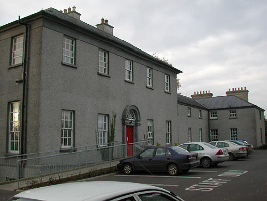 Ballyragget Lodgehouse · 910 yd
 Ballyragget Cas.Castle, tower house · 1139 yd
 Donaghmore WellSpring · 1.1 mi
 Moat Castle (site of)Archaeological place · 1.8 mi
 Graveyard in SraleaghGraveyard · 2.0 mi
 Anker's IslandIsland · 2.5 mi
 Emma Jane Browne-ClaytonMemorial · 4.0 mi
 Red horse-chestnutRed horse-chestnut · 4.0 mi
 Freshford LoopWalking route · 4.5 mi