What is recorded here
Indicated is a scarped rock outcrop beneath Ballyneety Castle in County Limerick, where stone was taken from the base of Sarsfield's Rock until the land became a terrace instead of a monument. The castle still stands above the wound, but the removed stone may have gone into roads, walls or kitchens across Limerick, carrying a piece of that rock into ordinary life. To walk its edge is to touch the place where ambition, gravity and human want agreed to reshape a hill.
Ballyneety Castle (LI033-040002-) also known as Whitestown Castle stands on top of natural rock outcrop annotated 'Sarsfield's Rock' on OSi 25-inch map, enclosing scarp around castle depicted from W-N-E with quarry area immediately to S of castle. This scarping forms a terraced area around the base of the rock outcrop on which Ballyneeety Castle stands.
Surveyed by the ASI in 2007 and described as traces of a scarp (Wth. 15m; int. H 0.5m; ext. H 2.85m) visible from NE-SW and from SW-W-N. Local information that this area was extensively quarried for stone in mid-20th century. The area is visible as a large rock outcrop on OSi orthophoto taken between 2005-12 and on Google Earth orthoimage dated 18/11/2018. Scarping of rock outcrop forming a natural terraced feature around the base of the rock outcrop on which the castle stands.
See attached Google Earth orthoimages
Compiled by: Martin Fitzpatrick
Date of upload: 30 March 2021
The monument record does not grant public access. Check the route and ask the landowner before entering private land.
- What survives
- Recorded monument
Places near here
 Site of Ballyneety CastleCastle, unclassified · 3 yd
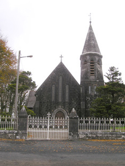 Saint Brigid's Catholic Churchchurch/chapel · 98 yd
 Enclosure in Ballyneety SouthEnclosure · 568 yd
 BarrowBarrow, ditch barrow · 741 yd
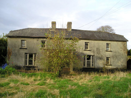 Derk Cottagehouse · 978 yd
 RathardCastle, ringwork · 1175 yd
 Oola HillMountain / peak · 3.1 mi
 St. Patrick's WellSpring · 3.3 mi
 Kilteely HillMountain / peak · 3.4 mi
 Flat cemetery in Knockainy WestFlat cemetery · 6.4 mi
 St Patrick's WellSpring · 6.9 mi
 Ballinvreena LoopVisitor information · 9.9 mi