What is recorded here
Fairy fort / earthen ringfort in Ballynahown is a fairy fort or earthen ringfort in Ballynahown, County Westmeath, Ireland. The 1837 OS Fair Plan map annotated the site as Fort and depicted it as a roughly circular-shaped enclosure situated on a rise in pasture with good views to the south. The revised 1910 edition of the OS 25-inch map did not depict the monument, and a 1973 survey described the levelled monument as having no surface remains visible.
Situated on a rise, in pasture, with good views to S. Annotated 'Fort' on the 1837 OS Fair Plan map and depicted as a roughly circular-shaped enclosure. Not depicted on the revised 1910 ed. OS 25-inch map. Levelled monument described in 1973 as no surface remains visible. Levelled site is not visible today on Digital Globe aerial photography.
Compiled by Alison McQueen, Vera Rahilly and Caimin O’Brien.
Date of upload: 28 November 2019
The monument record does not grant public access. Check the route and ask the landowner before entering private land.
- What survives
- Recorded monument
Places near here
 European ashEuropean ash · 541 yd
 OutlinedEnclosure · 616 yd
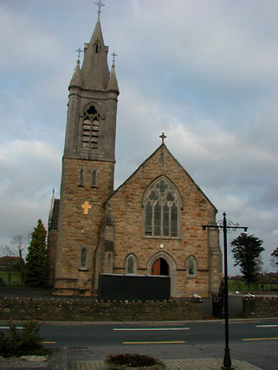 Saint Colmcille's Catholic Churchchurch/chapel · 652 yd
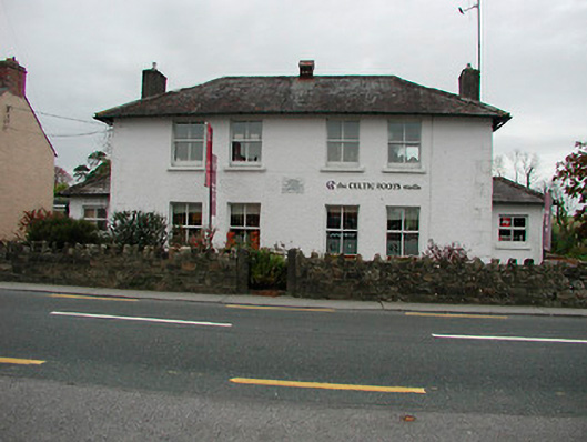 schoolschool · 671 yd
 IndicatedCastle, unclassified · 1608 yd
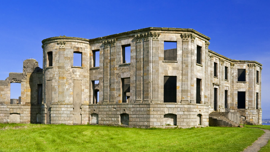 Enclosure in Doon DemesneEnclosure · 1.1 mi
 Esker CastleCastle, tower house · 1.5 mi
 Long IslandIsland · 3.4 mi
 Endrim HillMountain / peak · 3.7 mi
 Wren's IslandIslet · 4.9 mi
 Athlone Music MuseumMuseum · 6.2 mi
 1916 Centenery CommemorationMemorial · 6.3 mi