What is recorded here
Twelve acres of right-angled shadows still cut through the pasture beside Ballynagarde Castle, though no wall or ditch remains for a boot to touch. The geometry is too deliberate for random ploughing, yet it may belong to a proud post-1700 garden or a medieval estate, leaving the true owner hidden beneath the grass. The land keeps its shape while withholding its date, forcing every watcher to invent the hands that drew those lines.
In reclaimed pasture 200m NE of Ballynagarde Castle (LI022-051001-), moated site (LI022-051002-) lies 350m to SW. Identified by the Bruff aerial photographic survey in 1986 (Bruff 57(01) (02); AP 4/3746) as a regular pattern of rectilinear cropmarks, some perpendicular to each other, covering an area c. 11ha. Visited by ASI in 2000 when no surface trace of field system was visible. Visible as linear cropmarks on Google Earth orthoimage taken 19/11/2019. Earthworks visible on aerial images could be the remains of a designed landscape of post-1700 date associated with Ballynagarde House. Alternatively they may be the remains of a field-system associated with the medieval castle of Ballynagarde.
See attached Bruff survey image showing cropmark labelled Bruff 57(01) and Google Earth orthoimages
Compiled by: Martin Fitzpatrick
Date of upload: 5 August 2020
The monument record does not grant public access. Check the route and ask the landowner before entering private land.
- What survives
- Recorded monument
Places near here
 Ballynagarde Ho.Castle, tower house · 121 yd
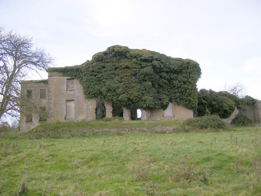 Ballynagarde Housecountry house · 166 yd
 ToberauillinSpring · 846 yd
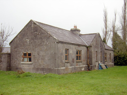 outbuilding, stablesoutbuilding, stables · 847 yd
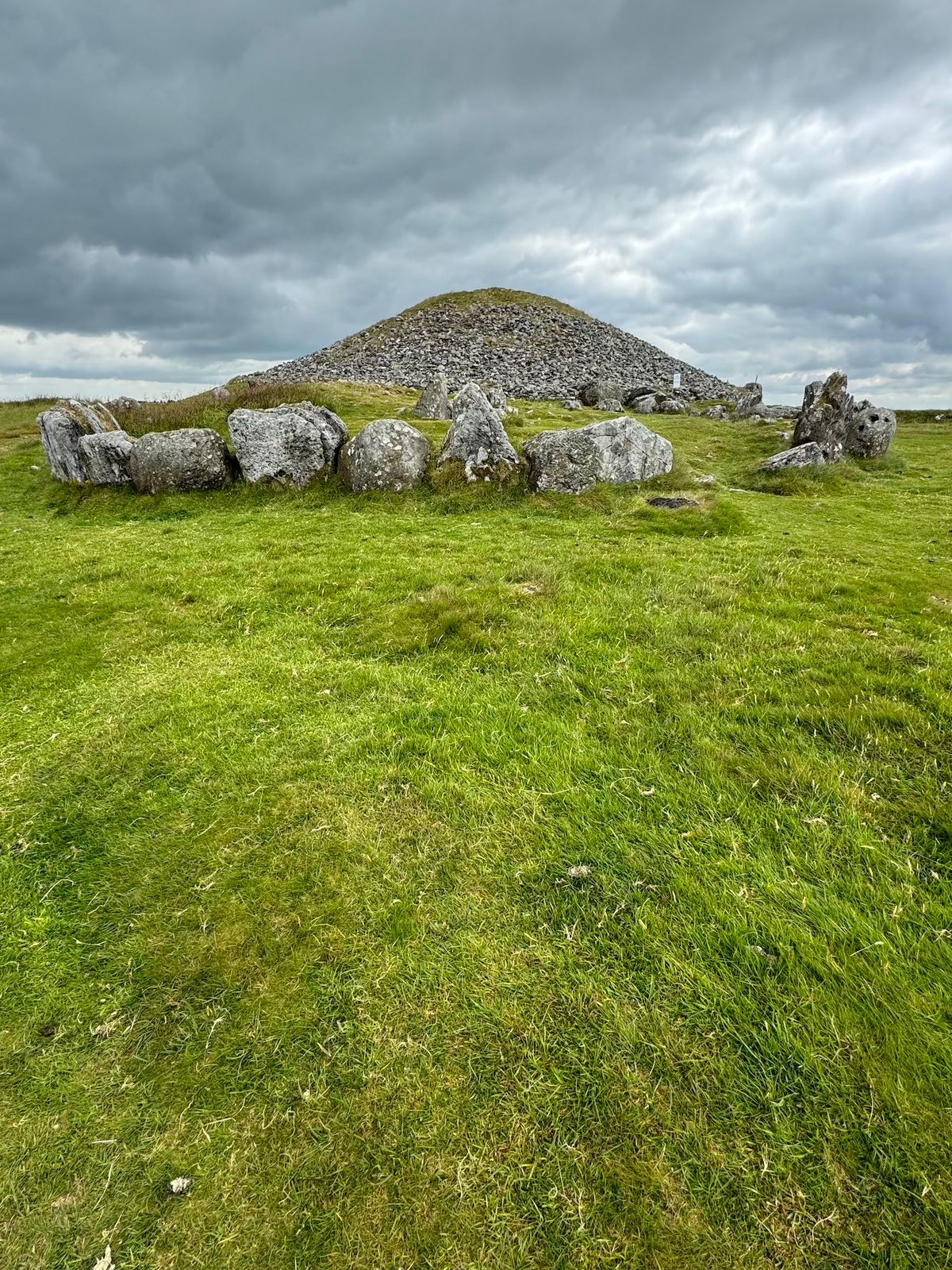 CairnCairn, unclassified · 1188 yd
 Burial ground in KnockeaBurial ground · 1454 yd
 Rockstown Castle (in ruins)Castle, tower house · 1.2 mi
 Carnane RockNamed rock · 1.6 mi
 Skool HillMountain / peak · 2.0 mi
 Villiers WellSpring · 3.0 mi
 European ashEuropean ash · 5.3 mi
 Monasteranenagh AbbeyHeritage attraction · 6.1 mi